Transport Functions
Rail
Road
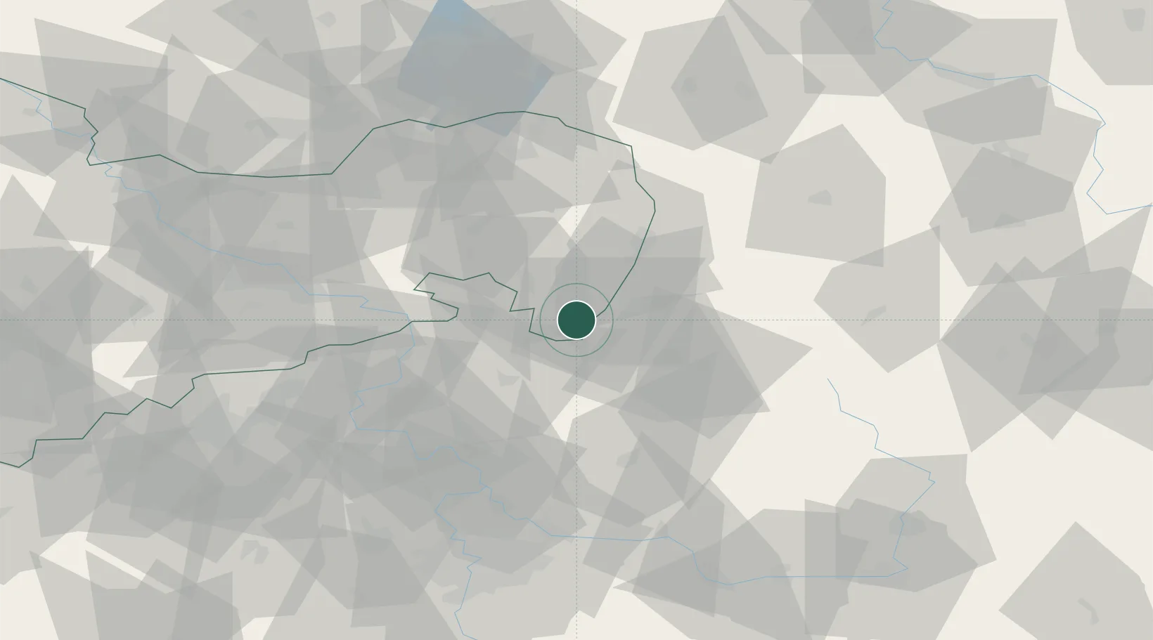
Hub Profile
Place type
Local administrative seat
Region
Saxony
Population
5,948
Time zone
Europe/Berlin
Elevation
280 m
Location
Nearby Logistics Neighbours
Cities
- 1Mittelherwigsdorf4 km
- 2Hainewalde6 km
- 3Grosschönau6 km
- 4Spitzkunnersdorf8 km
- 5Seifhennersdorf13 km
Ports
- 1Szczecin282 km
- 2Police299 km
- 3Swinoujscie339 km
- 4Wolgast358 km
- 5Kolobrzeg374 km
Airports
- 1Rothenburg/Görlitz Airfield55 km
- 2Dresden Airport75 km
- 3Kostomlaty Airstrip76 km
- 4Vodochody Airport79 km
- 5Prague–Kbely Air Base86 km
Trade Zones
DatabookThe Record of Consolidated Knowledge
Germany beyond logistics?