Transport Functions
Port
Rail
Road
Hub Profile
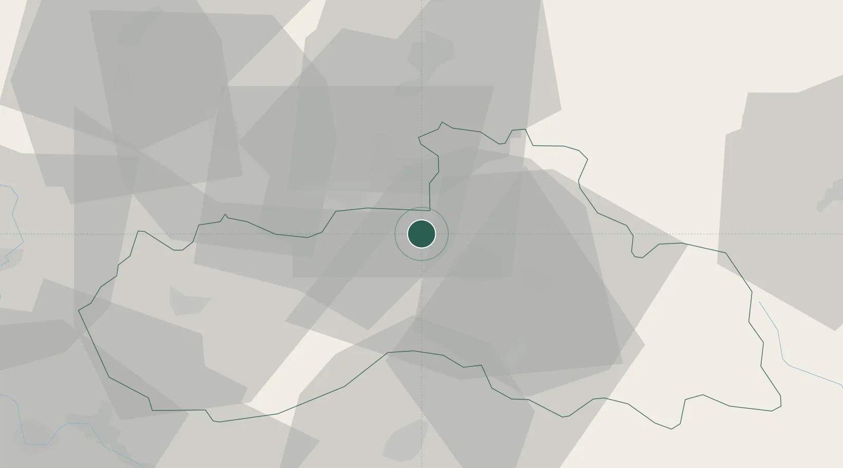
Place type
Populated place
Region
Liberecký kraj
Population
6,051
Time zone
Europe/Prague
Elevation
297 m
Location
Nearby Logistics Neighbours
Cities
- 1Stráz nad Nisou4 km
- 2Bogatynia9 km
- 3Olbersdorf16 km
- 4Mittelherwigsdorf18 km
- 5Hodkovice nad Mohelkou20 km
Ports
- 1Szczecin291 km
- 2Police307 km
- 3Swinoujscie348 km
- 4Wolgast368 km
- 5Kolobrzeg380 km
Airports
- 1Rothenburg/Görlitz Airfield61 km
- 2Kostomlaty Airstrip68 km
- 3Vodochody Airport78 km
- 4Prague–Kbely Air Base83 km
- 5Dresden Airport91 km
Trade Zones
DatabookThe Record of Consolidated Knowledge
Czechia beyond logistics?