Transport Functions
Rail
Road
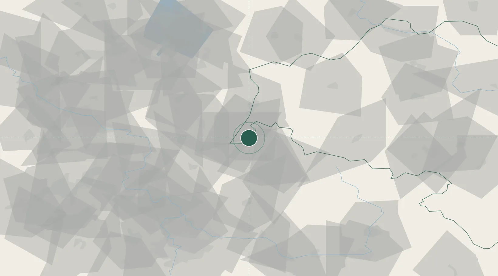
Hub Profile
Place type
Populated place
Region
Lower Silesia
Population
16,460
Time zone
Europe/Warsaw
Elevation
245 m
Location
Nearby Logistics Neighbours
Cities
- 1Chrastava9 km
- 2Mittelherwigsdorf13 km
- 3Olbersdorf13 km
- 4Stráz nad Nisou13 km
- 5Hainewalde18 km
Ports
- 1Szczecin281 km
- 2Police298 km
- 3Swinoujscie339 km
- 4Wolgast359 km
- 5Kolobrzeg371 km
Airports
- 1Rothenburg/Görlitz Airfield52 km
- 2Kostomlaty Airstrip77 km
- 3Vodochody Airport86 km
- 4Dresden Airport87 km
- 5Prague–Kbely Air Base91 km
Trade Zones
DatabookThe Record of Consolidated Knowledge
Poland beyond logistics?