Transport Functions
Rail
Road
Hub Profile
Place type
Populated place
Region
Ústecký kraj
Time zone
Europe/Prague
Elevation
159 m
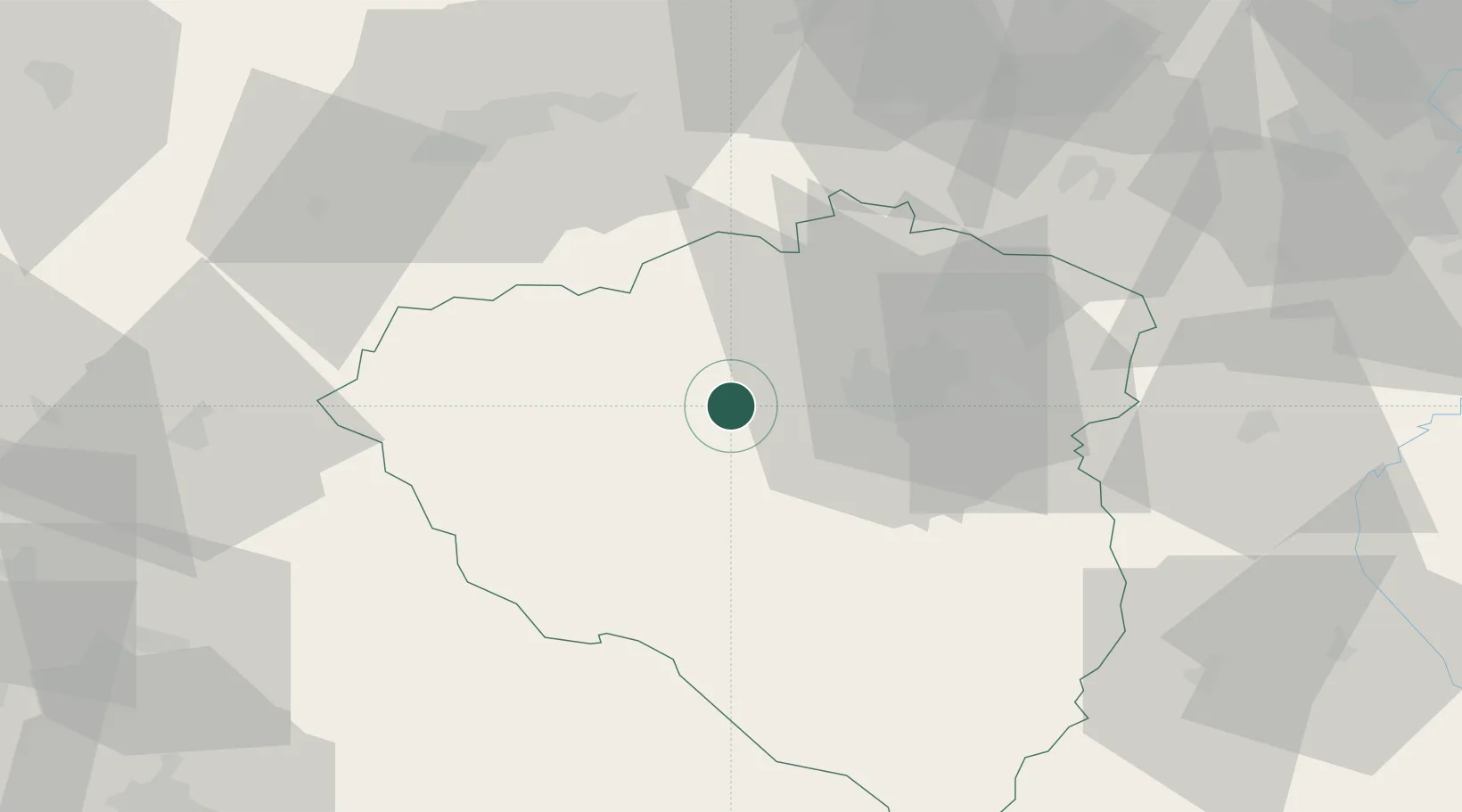
Location
Nearby Logistics Neighbours
Cities
- 1Hermanova Hut4 km
- 2Nýrany7 km
- 3Stríbro8 km
- 4Plzen8 km
- 5Zbuch10 km
Ports
- 1Szczecin422 km
- 2Police438 km
- 3Monfalcone441 km
- 4Nogaro442 km
- 5Grado449 km
Airports
- 1Plzeň-Líně Airport14 km
- 2Karlovy Vary Airport54 km
- 3Grafenwöhr Army Air Field84 km
- 4Václav Havel Airport Prague93 km
- 5Vodochody Airport107 km
Trade Zones
DatabookThe Record of Consolidated Knowledge
Czechia beyond logistics?