Transport Functions
Rail
Road
Airport
Postal
Hub Profile
Logistics facilities
3
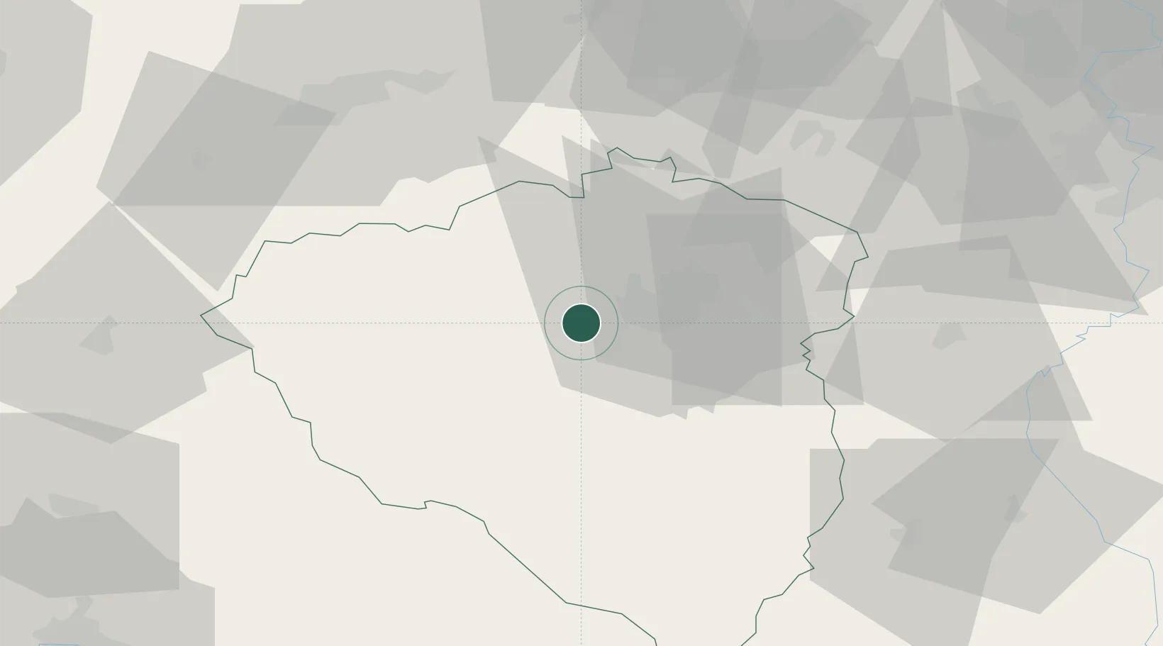
Location
Nearby Logistics Neighbours
Cities
- 1Nýrany1 km
- 2Zbuch5 km
- 3Vejprnice5 km
- 4Nova Hospoda8 km
- 5Hnevice8 km
Ports
- 1Szczecin421 km
- 2Police437 km
- 3Monfalcone439 km
- 4Nogaro441 km
- 5Grado448 km
Airports
- 1Plzeň-Líně Airport7 km
- 2Karlovy Vary Airport57 km
- 3Václav Havel Airport Prague86 km
- 4Grafenwöhr Army Air Field92 km
- 5Vodochody Airport101 km
Trade Zones
DatabookThe Record of Consolidated Knowledge
Czechia beyond logistics?