Transport Functions
Multimodal
Hub Profile
Place type
Populated place
Region
Olomoucký
Population
474
Time zone
Europe/Prague
Elevation
220 m
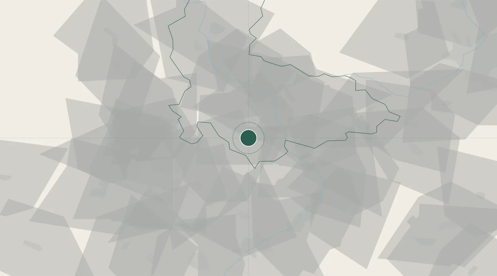
Location
Nearby Logistics Neighbours
Cities
- 1Bedihost4 km
- 2Kralice na Hané5 km
- 3Klenovice na Hane6 km
- 4Kostelec9 km
- 5Smrzice10 km
Ports
- 1Szczecin479 km
- 2Monfalcone485 km
- 3Trieste490 km
- 4Muggia494 km
- 5Police494 km
Airports
- 1Přerov Air Base20 km
- 2Brno-Tuřany Airport43 km
- 3Kunovice Airport49 km
- 4Leoš Janáček Airport Ostrava77 km
- 5Náměšť Air Base78 km
Trade Zones
DatabookThe Record of Consolidated Knowledge
Czechia beyond logistics?