Transport Functions
Rail
Road
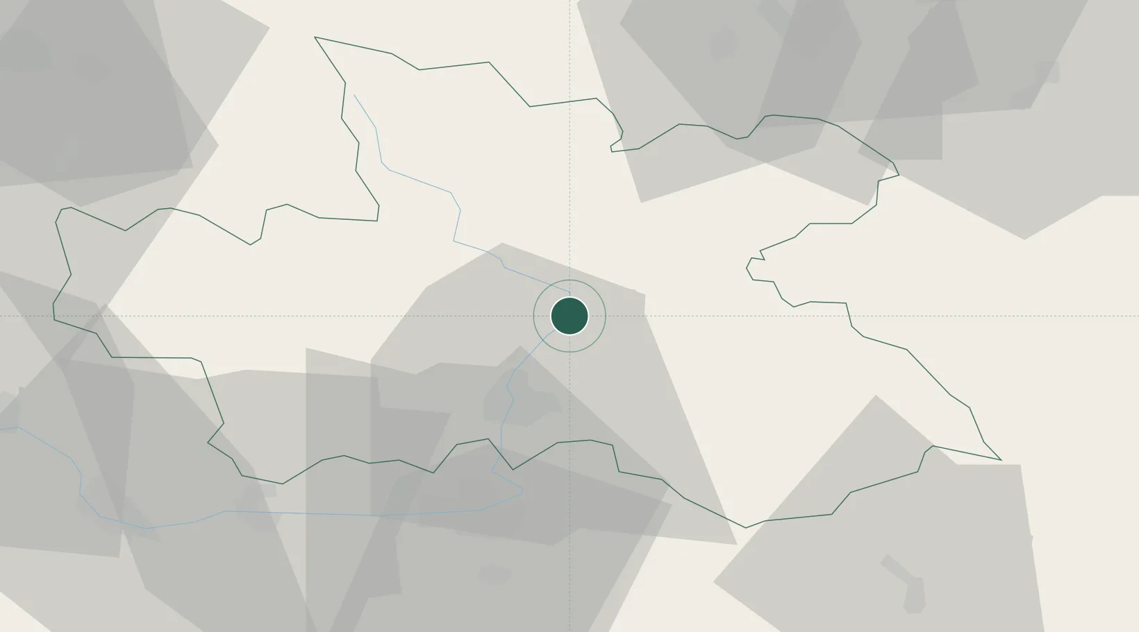
Hub Profile
Place type
Populated place
Region
Královéhradecký kraj
Population
12,831
Time zone
Europe/Prague
Elevation
258 m
Location
Nearby Logistics Neighbours
Cities
- 1Hermanice nad Labem2 km
- 2Brod nad Labem2 km
- 3Bohuslavice nad Metuji2 km
- 4Ceská Skalice11 km
- 5Dvur Králové nad Labem12 km
Ports
- 1Szczecin354 km
- 2Police369 km
- 3Swinoujscie412 km
- 4Kolobrzeg431 km
- 5Wolgast436 km
Airports
- 1Pardubice Airport39 km
- 2Čáslav Air Base59 km
- 3Kostomlaty Airstrip72 km
- 4Prague–Kbely Air Base101 km
- 5Copernicus Wrocław Airport108 km
Trade Zones
DatabookThe Record of Consolidated Knowledge
Czechia beyond logistics?