Transport Functions
Multimodal
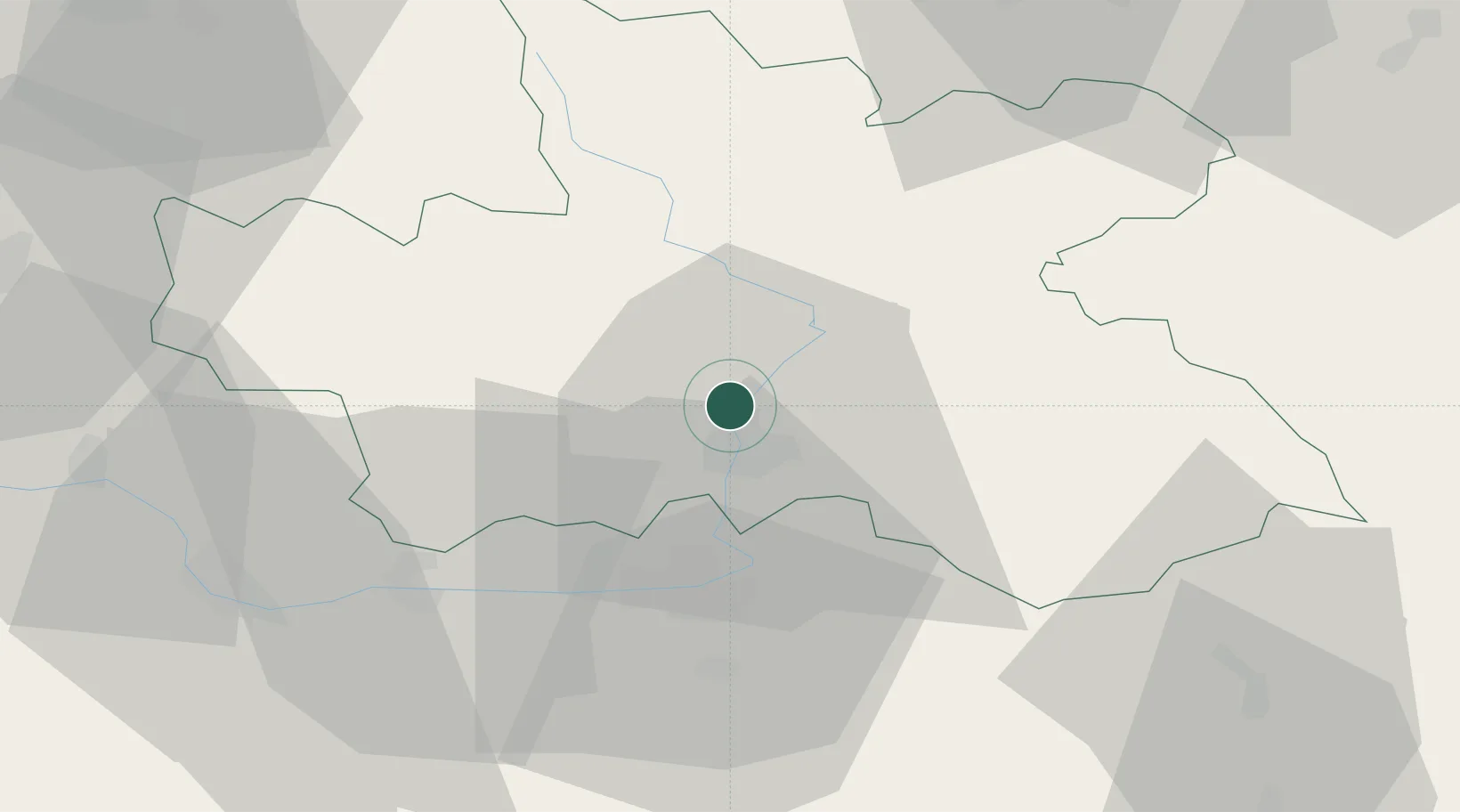
Hub Profile
Place type
Populated place
Region
Královéhradecký kraj
Population
504
Time zone
Europe/Prague
Elevation
246 m
Location
Nearby Logistics Neighbours
Cities
- 1Predmerice nad Labem2 km
- 2Hradec Králové6 km
- 3Stezery7 km
- 4Jaromer12 km
- 5Hermanice nad Labem13 km
Ports
- 1Szczecin361 km
- 2Police377 km
- 3Swinoujscie419 km
- 4Kolobrzeg440 km
- 5Wolgast443 km
Airports
- 1Pardubice Airport29 km
- 2Čáslav Air Base48 km
- 3Kostomlaty Airstrip64 km
- 4Prague–Kbely Air Base92 km
- 5Vodochody Airport101 km
Trade Zones
DatabookThe Record of Consolidated Knowledge
Czechia beyond logistics?