Transport Functions
Multimodal
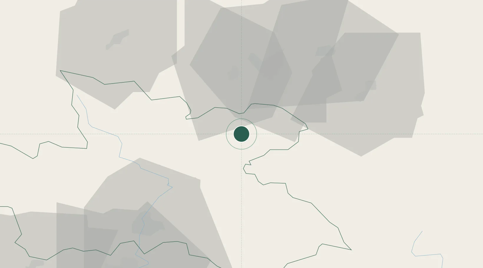
Hub Profile
Place type
Populated place
Region
Královéhradecký kraj
Population
312
Time zone
Europe/Prague
Elevation
444 m
Location
Nearby Logistics Neighbours
Cities
- 1Zdar nad Metuji1 km
- 2Police nad Metují4 km
- 3Mezimestí9 km
- 4Malé Svatonovice10 km
- 5Mieroszów13 km
Ports
- 1Szczecin338 km
- 2Police353 km
- 3Swinoujscie396 km
- 4Kolobrzeg410 km
- 5Wolgast422 km
Airports
- 1Pardubice Airport67 km
- 2Copernicus Wrocław Airport79 km
- 3Čáslav Air Base89 km
- 4Kostomlaty Airstrip97 km
- 5Rothenburg/Görlitz Airfield125 km
Trade Zones
DatabookThe Record of Consolidated Knowledge
Czechia beyond logistics?