UN/LOCODE hub · Czechia
CZMSV
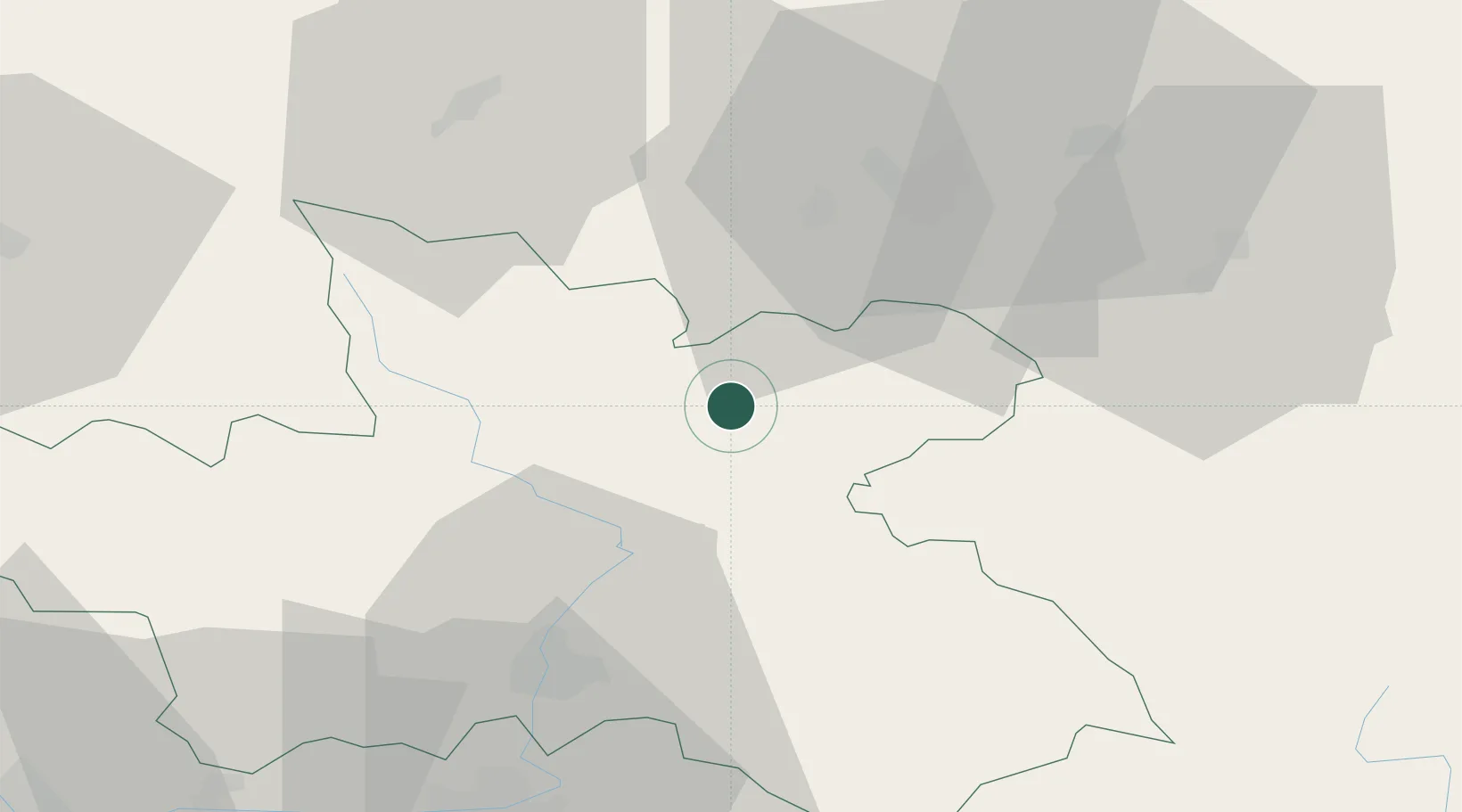
Malé Svatonovice
50.5333°, 16.0500°
1,587
Population
2
Transport functions
Transport Functions
Rail
Road
Hub Profile
Place type
Populated place
Region
Královéhradecký kraj
Population
1,587
Time zone
Europe/Prague
Elevation
439 m
Location
Nearby Logistics Neighbours
Cities
- 1Borsov nad Vltavou6 km
- 2Ceska Metuje10 km
- 3Zdar nad Metuji11 km
- 4Police nad Metují13 km
- 5Ceská Skalice15 km
Ports
- 1Szczecin337 km
- 2Police352 km
- 3Swinoujscie395 km
- 4Kolobrzeg411 km
- 5Wolgast420 km
Airports
- 1Pardubice Airport62 km
- 2Čáslav Air Base81 km
- 3Copernicus Wrocław Airport86 km
- 4Kostomlaty Airstrip88 km
- 5Prague–Kbely Air Base116 km
Trade Zones
DatabookThe Record of Consolidated Knowledge
Czechia beyond logistics?