Transport Functions
Multimodal
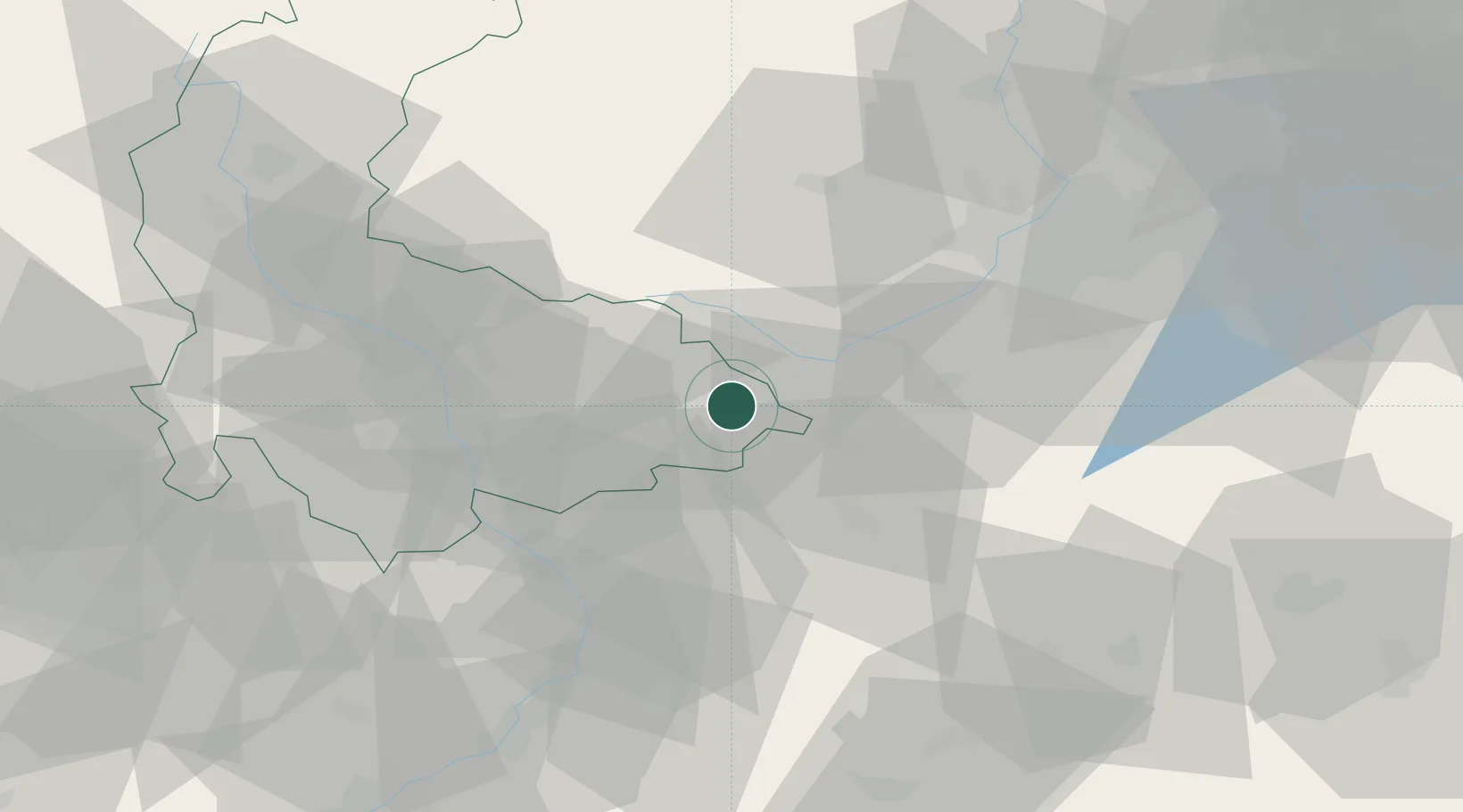
Hub Profile
Region
PL
Location
Nearby Logistics Neighbours
Cities
- 1Milotice nad Becvou5 km
- 2Kelc8 km
- 3Kunovice12 km
- 4Mankovice13 km
- 5Lipnik nad Becvou14 km
Ports
- 1Szczecin484 km
- 2Police498 km
- 3Monfalcone524 km
- 4Trieste528 km
- 5Bakar531 km
Airports
- 1Přerov Air Base30 km
- 2Leoš Janáček Airport Ostrava30 km
- 3Kunovice Airport63 km
- 4Žilina-Dolný Hričov Airport71 km
- 5Brno-Tuřany Airport90 km
Trade Zones
DatabookThe Record of Consolidated Knowledge
Czechia beyond logistics?