UN/LOCODE hub · Czechia
CZOLU
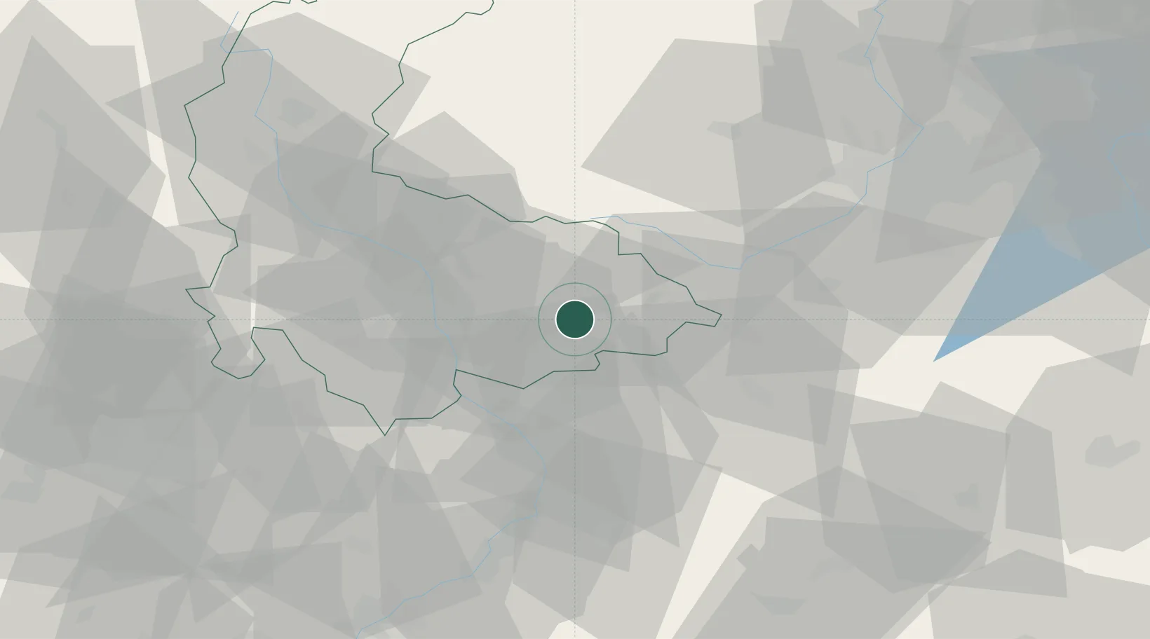
Lipnik nad Becvou
49.5167°, 17.5833°
7,955
Population
1
Transport functions
Transport Functions
Multimodal
Hub Profile
Place type
Populated place
Region
Olomoucký
Population
7,955
Time zone
Europe/Prague
Elevation
248 m
Location
Nearby Logistics Neighbours
Cities
- 1Osek nad Becvou4 km
- 2Dolni Ujezd (u Prerova)5 km
- 3Pavlovice u Prerova7 km
- 4Domazelice10 km
- 5Zelatovice11 km
Ports
- 1Szczecin482 km
- 2Police496 km
- 3Monfalcone513 km
- 4Trieste517 km
- 5Muggia521 km
Airports
- 1Přerov Air Base16 km
- 2Leoš Janáček Airport Ostrava43 km
- 3Kunovice Airport55 km
- 4Brno-Tuřany Airport76 km
- 5Žilina-Dolný Hričov Airport81 km
Trade Zones
DatabookThe Record of Consolidated Knowledge
Czechia beyond logistics?