UN/LOCODE hub · Czechia
CZMIB
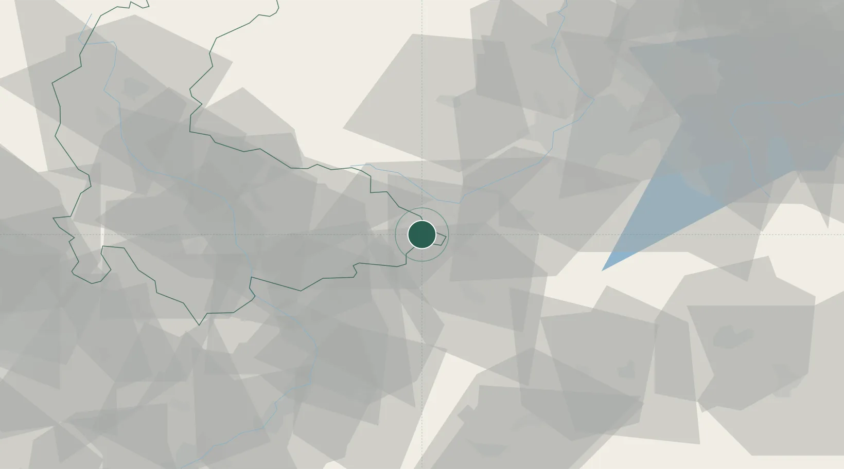
Milotice nad Becvou
49.5333°, 17.8333°
247
Population
4
Transport functions
Transport Functions
Port
Rail
Road
Postal
Hub Profile
Place type
Populated place
Region
Olomoucký
Population
247
Time zone
Europe/Prague
Elevation
271 m
Location
Nearby Logistics Neighbours
Cities
- 1Hranice na Morave5 km
- 2Kelc6 km
- 3Kunovice9 km
- 4Mankovice12 km
- 5Valasské Mezirící12 km
Ports
- 1Szczecin488 km
- 2Police502 km
- 3Monfalcone526 km
- 4Trieste529 km
- 5Bakar532 km
Airports
- 1Leoš Janáček Airport Ostrava27 km
- 2Přerov Air Base33 km
- 3Kunovice Airport63 km
- 4Žilina-Dolný Hričov Airport66 km
- 5Brno-Tuřany Airport93 km
Trade Zones
DatabookThe Record of Consolidated Knowledge
Czechia beyond logistics?