Transport Functions
Multimodal
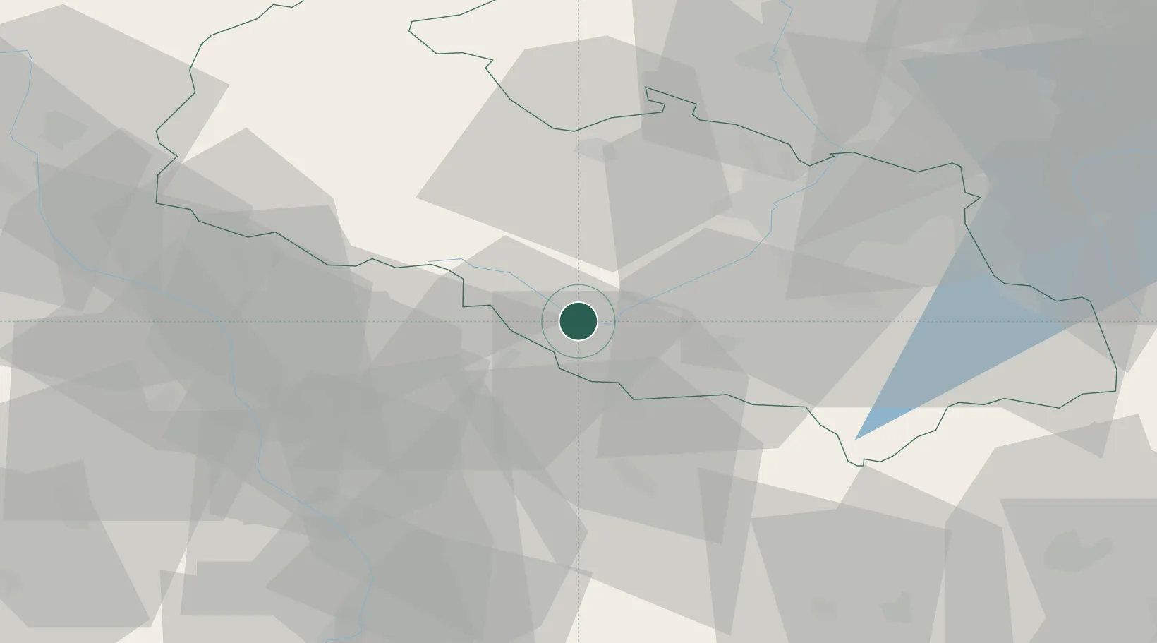
Hub Profile
Place type
Populated place
Region
Moravskoslezský
Population
604
Time zone
Europe/Prague
Elevation
269 m
Location
Nearby Logistics Neighbours
Cities
- 1Odry5 km
- 2Novy Jicín10 km
- 3Milotice nad Becvou12 km
- 4Hranice na Morave13 km
- 5Bartosovice13 km
Ports
- 1Szczecin480 km
- 2Police494 km
- 3Monfalcone537 km
- 4Swinoujscie537 km
- 5Trieste540 km
Airports
- 1Leoš Janáček Airport Ostrava18 km
- 2Přerov Air Base42 km
- 3Žilina-Dolný Hričov Airport69 km
- 4Kunovice Airport75 km
- 5Brno-Tuřany Airport101 km
Trade Zones
DatabookThe Record of Consolidated Knowledge
Czechia beyond logistics?