Transport Functions
Rail
Road
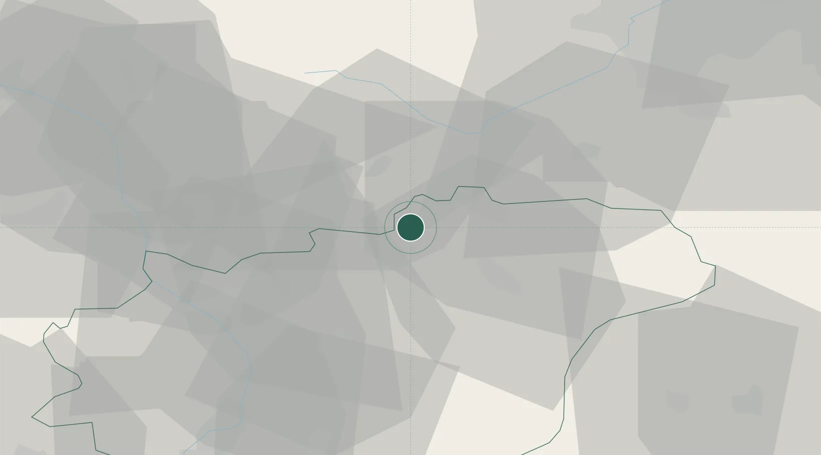
Hub Profile
Place type
Populated place
Region
Zlín
Population
647
Time zone
Europe/Prague
Elevation
398 m
Location
Nearby Logistics Neighbours
Cities
- 1Kelc4 km
- 2Milotice nad Becvou9 km
- 3Valasské Mezirící11 km
- 4Bystrice pod Hostýnem11 km
- 5Hranice na Morave12 km
Ports
- 1Szczecin496 km
- 2Police510 km
- 3Monfalcone518 km
- 4Trieste521 km
- 5Bakar523 km
Airports
- 1Přerov Air Base30 km
- 2Leoš Janáček Airport Ostrava35 km
- 3Kunovice Airport54 km
- 4Žilina-Dolný Hričov Airport63 km
- 5Brno-Tuřany Airport88 km
Trade Zones
DatabookThe Record of Consolidated Knowledge
Czechia beyond logistics?