Transport Functions
Rail
Road
Hub Profile
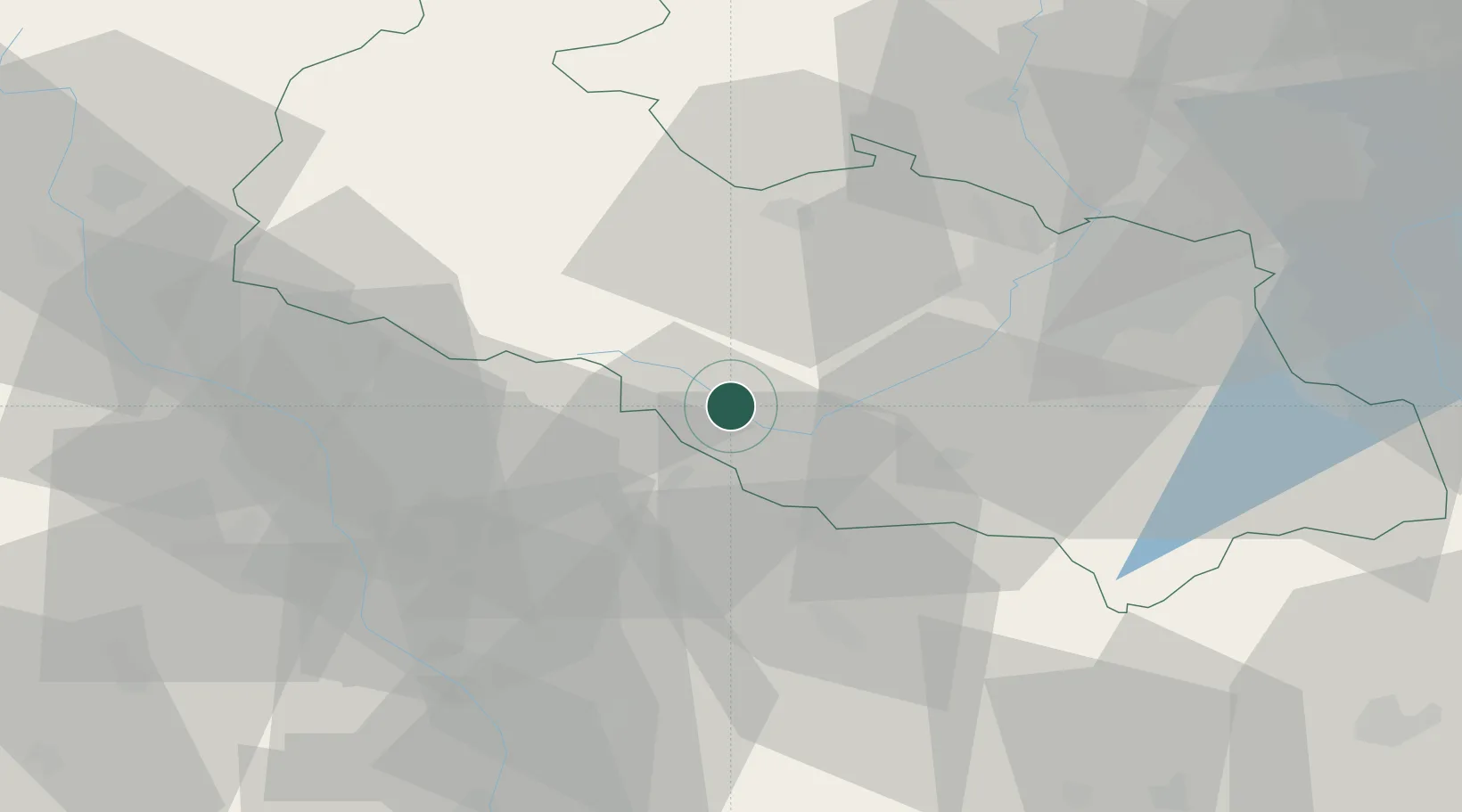
Place type
Populated place
Region
Moravskoslezský
Population
7,395
Time zone
Europe/Prague
Elevation
305 m
Location
Nearby Logistics Neighbours
Cities
- 1Mankovice5 km
- 2Potstat13 km
- 3Hranice na Morave14 km
- 4Milotice nad Becvou15 km
- 5Novy Jicín15 km
Ports
- 1Szczecin475 km
- 2Police489 km
- 3Swinoujscie532 km
- 4Monfalcone538 km
- 5Trieste541 km
Airports
- 1Leoš Janáček Airport Ostrava20 km
- 2Přerov Air Base41 km
- 3Žilina-Dolný Hričov Airport74 km
- 4Kunovice Airport76 km
- 5Brno-Tuřany Airport100 km
Trade Zones
DatabookThe Record of Consolidated Knowledge
Czechia beyond logistics?