Transport Functions
Multimodal
Hub Profile
Place type
Populated place
Region
Vysočina
Population
1,236
Time zone
Europe/Prague
Elevation
559 m
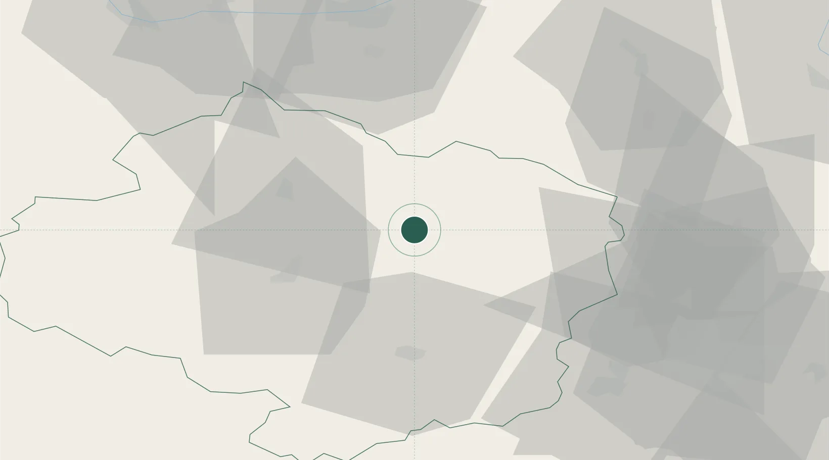
Location
Nearby Logistics Neighbours
Cities
- 1Zdár nad Sázavou7 km
- 2Nové Mesto na Morave13 km
- 3Dobronín18 km
- 4Krucemburk19 km
- 5Polna24 km
Ports
- 1Szczecin444 km
- 2Monfalcone451 km
- 3Trieste459 km
- 4Police460 km
- 5Muggia464 km
Airports
- 1Náměšť Air Base42 km
- 2Pardubice Airport57 km
- 3Čáslav Air Base60 km
- 4Brno-Tuřany Airport70 km
- 5Kostomlaty Airstrip104 km
Trade Zones
DatabookThe Record of Consolidated Knowledge
Czechia beyond logistics?