Transport Functions
Multimodal
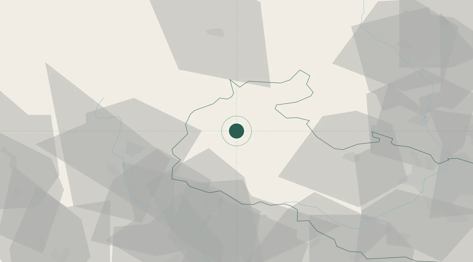
Hub Profile
Place type
Populated place
Region
Moravskoslezský
Population
1,362
Time zone
Europe/Prague
Elevation
613 m
Location
Nearby Logistics Neighbours
Cities
- 1Vrbno pod Pradedem8 km
- 2Loucna Nad Desnou23 km
- 3Úvalno24 km
- 4Ceská Ves26 km
- 5Dívcí Hrad27 km
Ports
- 1Szczecin423 km
- 2Police437 km
- 3Kolobrzeg481 km
- 4Swinoujscie481 km
- 5Gdansk486 km
Airports
- 1Leoš Janáček Airport Ostrava63 km
- 2Přerov Air Base69 km
- 3Brno-Tuřany Airport113 km
- 4Kunovice Airport114 km
- 5Pardubice Airport120 km
Trade Zones
DatabookThe Record of Consolidated Knowledge
Czechia beyond logistics?