Transport Functions
Rail
Road
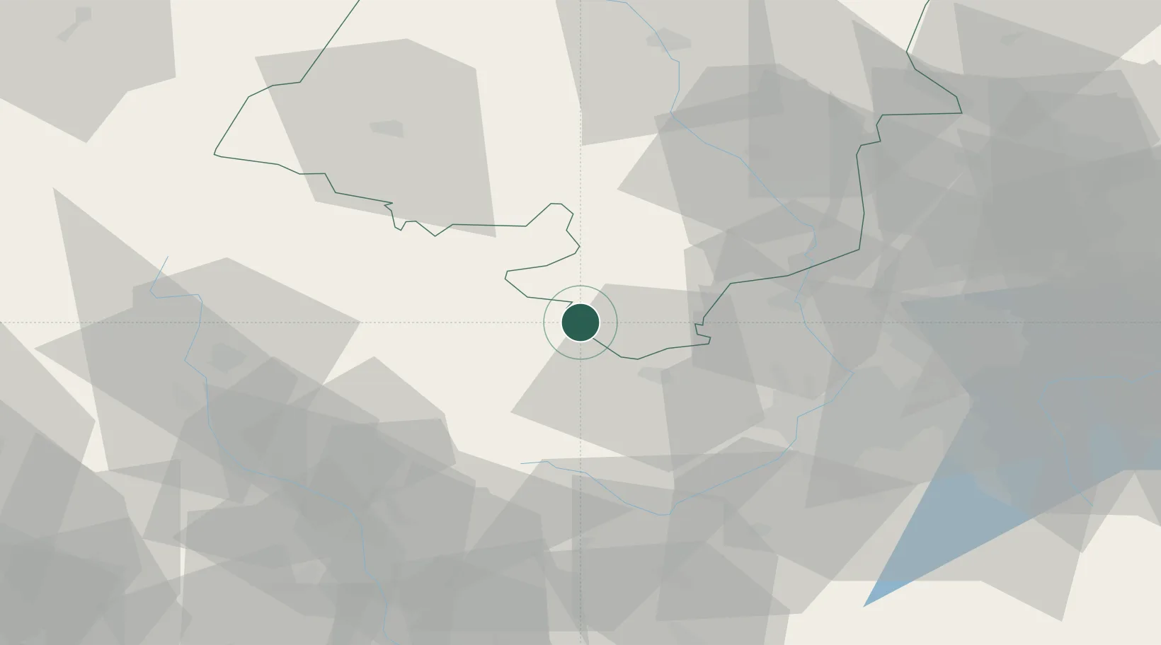
Hub Profile
Place type
Populated place
Region
Moravskoslezský
Population
938
Time zone
Europe/Prague
Elevation
322 m
Location
Nearby Logistics Neighbours
Cities
- 1Hory19 km
- 2Kravare22 km
- 3Koberice23 km
- 4Kravare ve Slezsku23 km
- 5Dívcí Hrad24 km
Airports
Trade Zones
DatabookThe Record of Consolidated Knowledge
Czechia beyond logistics?