Transport Functions
Port
Road
Hub Profile
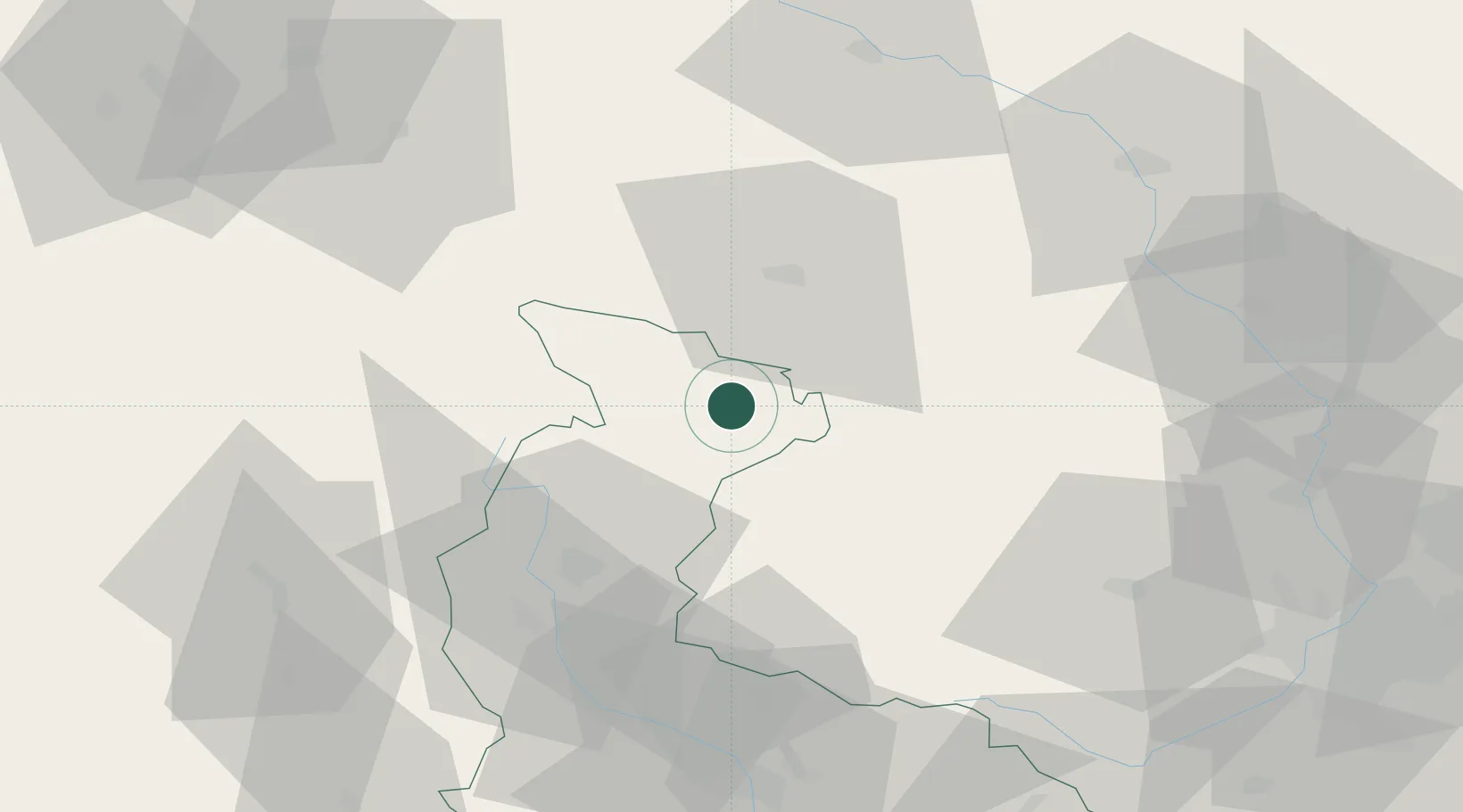
Place type
Populated place
Region
Olomoucký
Population
2,554
Time zone
Europe/Prague
Elevation
403 m
Location
Nearby Logistics Neighbours
Cities
- 1Zulova12 km
- 2Vrbno pod Pradedem18 km
- 3Staré Mesto22 km
- 4Loucna Nad Desnou23 km
- 5Otmuchów25 km
Ports
- 1Szczecin397 km
- 2Police412 km
- 3Swinoujscie455 km
- 4Kolobrzeg456 km
- 5Gdansk466 km
Airports
- 1Leoš Janáček Airport Ostrava88 km
- 2Přerov Air Base93 km
- 3Copernicus Wrocław Airport98 km
- 4Pardubice Airport110 km
- 5Brno-Tuřany Airport128 km
Trade Zones
DatabookThe Record of Consolidated Knowledge
Czechia beyond logistics?