Transport Functions
Multimodal
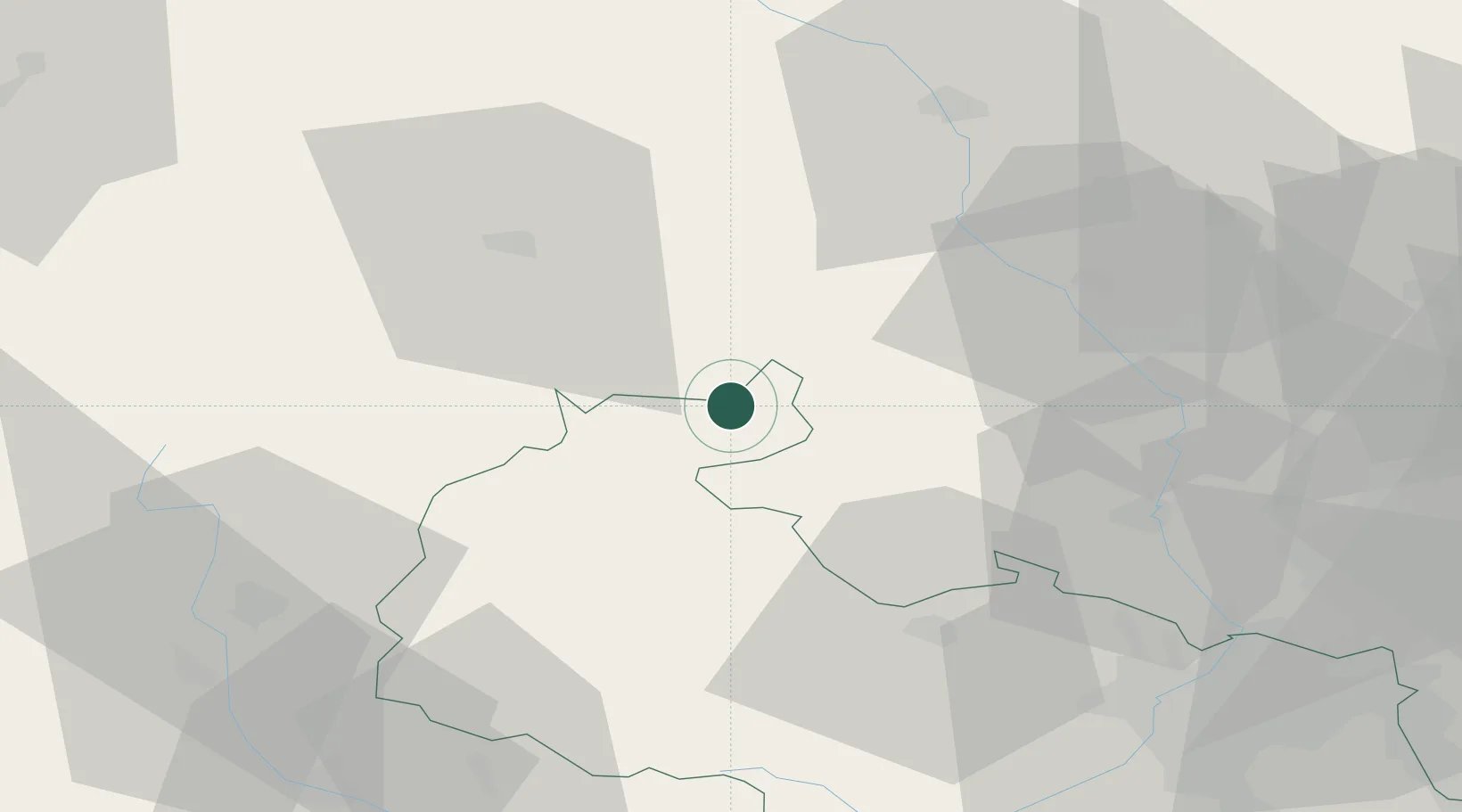
Hub Profile
Place type
Populated place
Region
Moravskoslezský
Population
268
Time zone
Europe/Prague
Elevation
309 m
Location
Nearby Logistics Neighbours
Cities
- 1Osoblaha6 km
- 2Úvalno24 km
- 3Vrbno pod Pradedem24 km
- 4Svetla Hora27 km
- 5Ceská Ves28 km
Ports
- 1Szczecin411 km
- 2Police425 km
- 3Gdansk461 km
- 4Kolobrzeg463 km
- 5Swinoujscie468 km
Airports
Trade Zones
DatabookThe Record of Consolidated Knowledge
Czechia beyond logistics?