Transport Functions
Multimodal
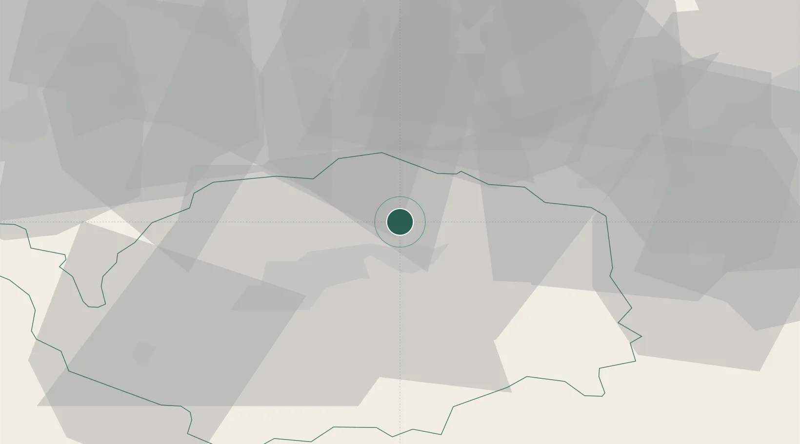
Hub Profile
Region
KA
Location
Nearby Logistics Neighbours
Ports
- 1Szczecin364 km
- 2Police380 km
- 3Wismar410 km
- 4Hamburg411 km
- 5Swinoujscie412 km
Airports
- 1Karlovy Vary Airport14 km
- 2Hof-Plauen Airport71 km
- 3Plzeň-Líně Airport78 km
- 4Leipzig–Altenburg Airport78 km
- 5Bayreuth Airport94 km
Trade Zones
DatabookThe Record of Consolidated Knowledge
Czechia beyond logistics?