Transport Functions
Multimodal
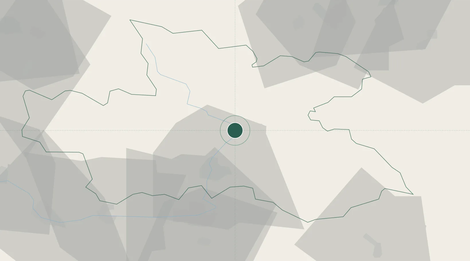
Hub Profile
Place type
Populated place
Region
Královéhradecký kraj
Time zone
Europe/Prague
Elevation
272 m
Location
Nearby Logistics Neighbours
Cities
- 1Brod nad Labem0 km
- 2Bohuslavice nad Metuji0 km
- 3Jaromer2 km
- 4Ceská Skalice10 km
- 5Dvur Králové nad Labem10 km
Ports
- 1Szczecin352 km
- 2Police368 km
- 3Swinoujscie411 km
- 4Kolobrzeg429 km
- 5Wolgast435 km
Airports
- 1Pardubice Airport41 km
- 2Čáslav Air Base61 km
- 3Kostomlaty Airstrip73 km
- 4Prague–Kbely Air Base101 km
- 5Copernicus Wrocław Airport107 km
Trade Zones
DatabookThe Record of Consolidated Knowledge
Czechia beyond logistics?