Transport Functions
Rail
Road
Hub Profile
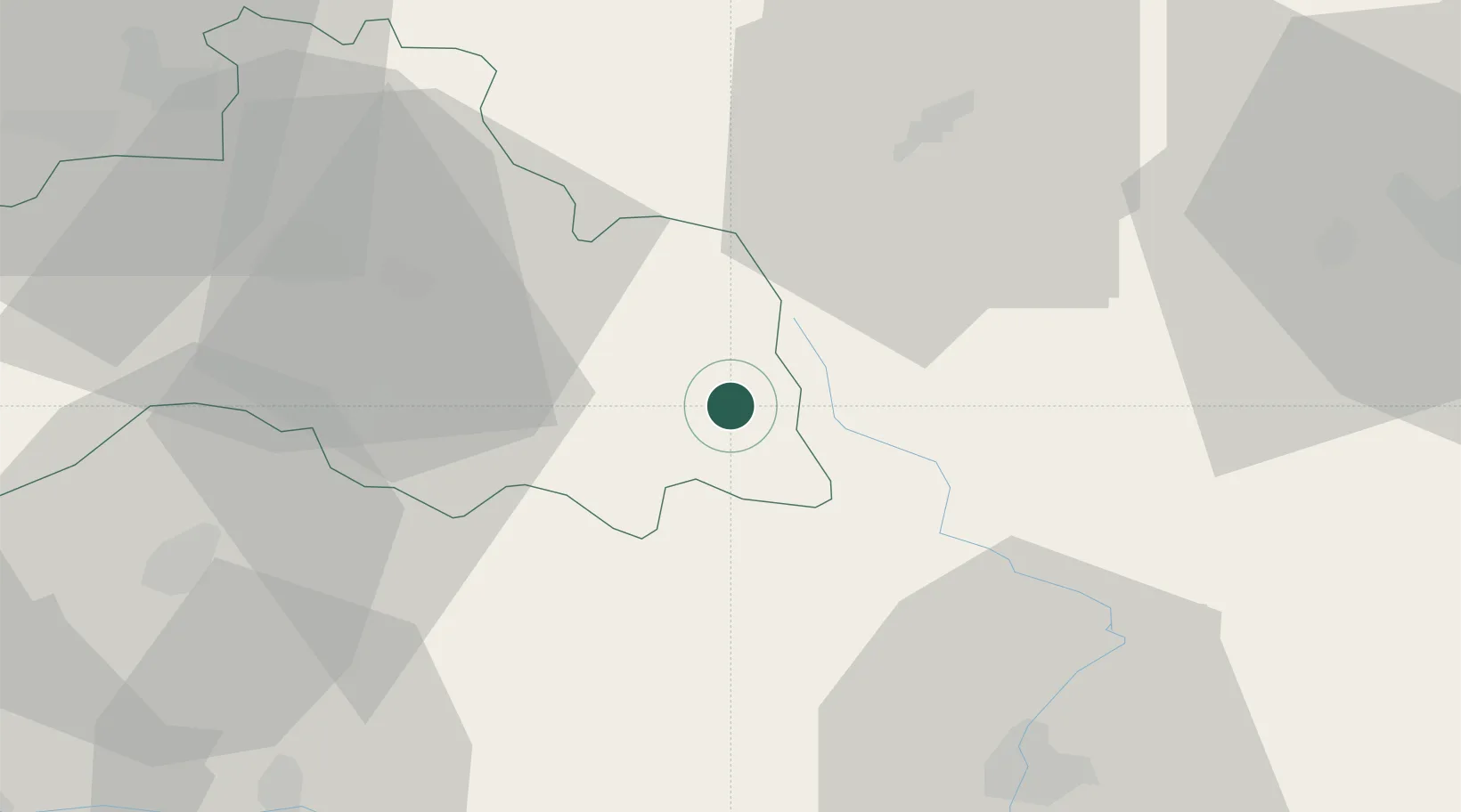
Place type
Populated place
Region
Liberecký kraj
Population
5,777
Time zone
Europe/Prague
Elevation
462 m
Location
Nearby Logistics Neighbours
Cities
- 1Vrchlabí6 km
- 2Ponikla7 km
- 3Konojedy8 km
- 4Libstát8 km
- 5Horka u Stare Paky10 km
Ports
- 1Szczecin320 km
- 2Police336 km
- 3Swinoujscie379 km
- 4Wolgast401 km
- 5Kolobrzeg402 km
Airports
- 1Kostomlaty Airstrip60 km
- 2Pardubice Airport67 km
- 3Čáslav Air Base74 km
- 4Prague–Kbely Air Base87 km
- 5Vodochody Airport90 km
Trade Zones
DatabookThe Record of Consolidated Knowledge
Czechia beyond logistics?