UN/LOCODE hub · Czechia
CZLHY
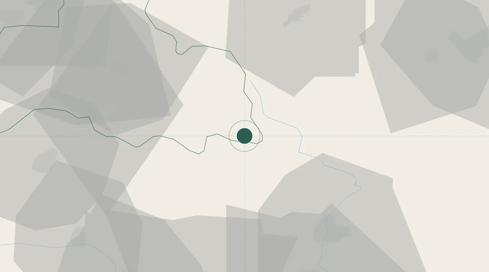
Horka u Stare Paky
50.5167°, 15.5667°
264
Population
2
Transport functions
Transport Functions
Road
Multimodal
Hub Profile
Place type
Populated place
Region
Liberecký kraj
Population
264
Time zone
Europe/Prague
Elevation
499 m
Location
Nearby Logistics Neighbours
Ports
- 1Szczecin330 km
- 2Police346 km
- 3Swinoujscie388 km
- 4Wolgast411 km
- 5Kolobrzeg411 km
Airports
- 1Kostomlaty Airstrip57 km
- 2Pardubice Airport57 km
- 3Čáslav Air Base66 km
- 4Prague–Kbely Air Base85 km
- 5Vodochody Airport90 km
Trade Zones
DatabookThe Record of Consolidated Knowledge
Czechia beyond logistics?