Transport Functions
Multimodal
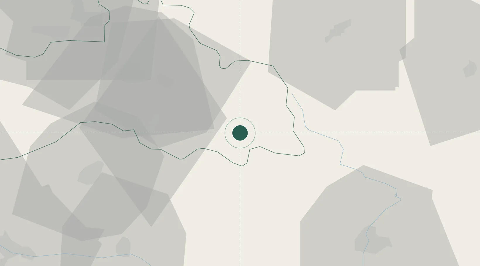
Hub Profile
Place type
Populated place
Region
Central Bohemia
Population
196
Time zone
Europe/Prague
Elevation
400 m
Location
Nearby Logistics Neighbours
Cities
- 1Libstát0 km
- 2Lomnice nad Popelkou5 km
- 3Jilemnice8 km
- 4Ponikla10 km
- 5Chuchelna10 km
Ports
- 1Szczecin322 km
- 2Police339 km
- 3Swinoujscie381 km
- 4Wolgast403 km
- 5Kolobrzeg406 km
Airports
- 1Kostomlaty Airstrip53 km
- 2Pardubice Airport66 km
- 3Čáslav Air Base70 km
- 4Prague–Kbely Air Base79 km
- 5Vodochody Airport82 km
Trade Zones
DatabookThe Record of Consolidated Knowledge
Czechia beyond logistics?