Transport Functions
Rail
Road
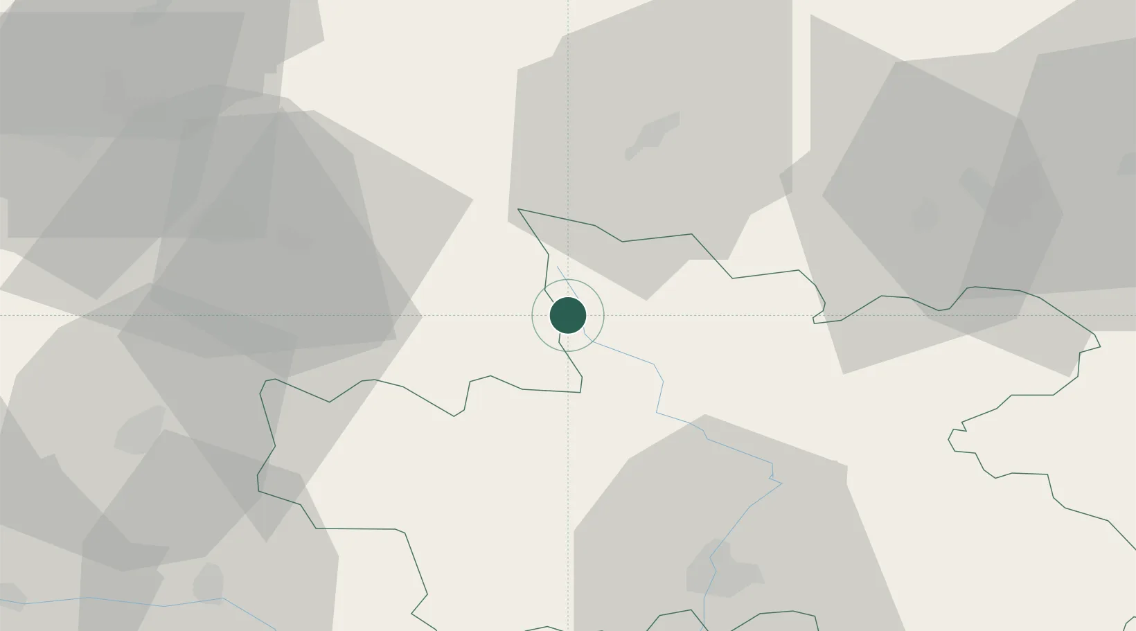
Hub Profile
Place type
Populated place
Region
Královéhradecký kraj
Population
12,898
Time zone
Europe/Prague
Elevation
487 m
Location
Nearby Logistics Neighbours
Cities
- 1Jilemnice6 km
- 2Ponikla11 km
- 3Horka u Stare Paky11 km
- 4Konojedy14 km
- 5Libstát14 km
Ports
- 1Szczecin320 km
- 2Police336 km
- 3Swinoujscie378 km
- 4Kolobrzeg400 km
- 5Wolgast401 km
Airports
- 1Kostomlaty Airstrip66 km
- 2Pardubice Airport68 km
- 3Čáslav Air Base77 km
- 4Prague–Kbely Air Base93 km
- 5Rothenburg/Görlitz Airfield95 km
Trade Zones
DatabookThe Record of Consolidated Knowledge
Czechia beyond logistics?