Transport Functions
Multimodal
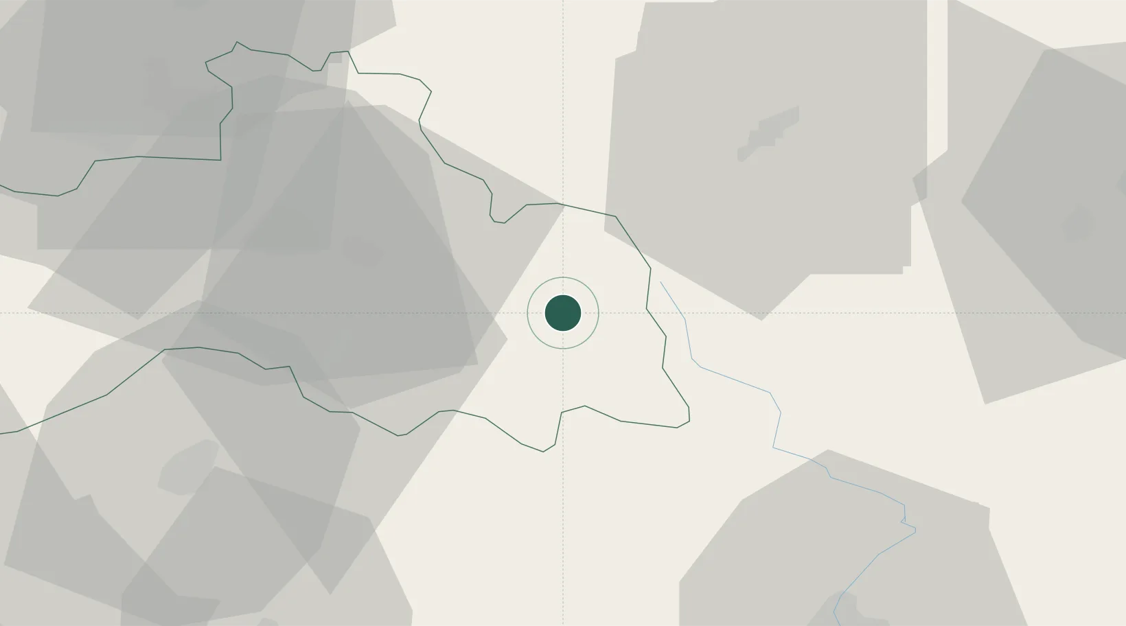
Hub Profile
Place type
Populated place
Region
Liberecký kraj
Population
1,247
Time zone
Europe/Prague
Elevation
497 m
Location
Nearby Logistics Neighbours
Ports
- 1Szczecin314 km
- 2Police330 km
- 3Swinoujscie372 km
- 4Wolgast395 km
- 5Kolobrzeg397 km
Airports
- 1Kostomlaty Airstrip62 km
- 2Pardubice Airport74 km
- 3Čáslav Air Base79 km
- 4Rothenburg/Görlitz Airfield87 km
- 5Prague–Kbely Air Base87 km
Trade Zones
DatabookThe Record of Consolidated Knowledge
Czechia beyond logistics?