Transport Functions
Multimodal
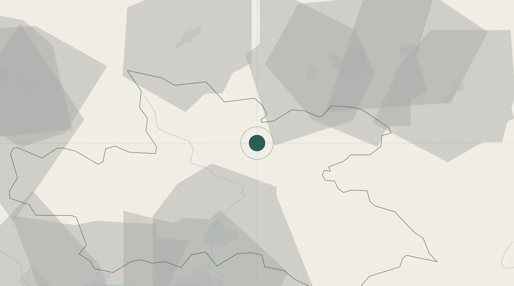
Hub Profile
Place type
Populated place
Region
Jihočeský kraj
Time zone
Europe/Prague
Elevation
406 m
Location
Nearby Logistics Neighbours
Cities
- 1Malé Svatonovice6 km
- 2Mlade Buky11 km
- 3Dvur Králové nad Labem15 km
- 4Ceska Metuje15 km
- 5Ceská Skalice16 km
Ports
- 1Szczecin335 km
- 2Police351 km
- 3Swinoujscie394 km
- 4Kolobrzeg411 km
- 5Wolgast418 km
Airports
- 1Pardubice Airport60 km
- 2Čáslav Air Base78 km
- 3Kostomlaty Airstrip82 km
- 4Copernicus Wrocław Airport90 km
- 5Prague–Kbely Air Base111 km
Trade Zones
DatabookThe Record of Consolidated Knowledge
Czechia beyond logistics?