Transport Functions
Multimodal
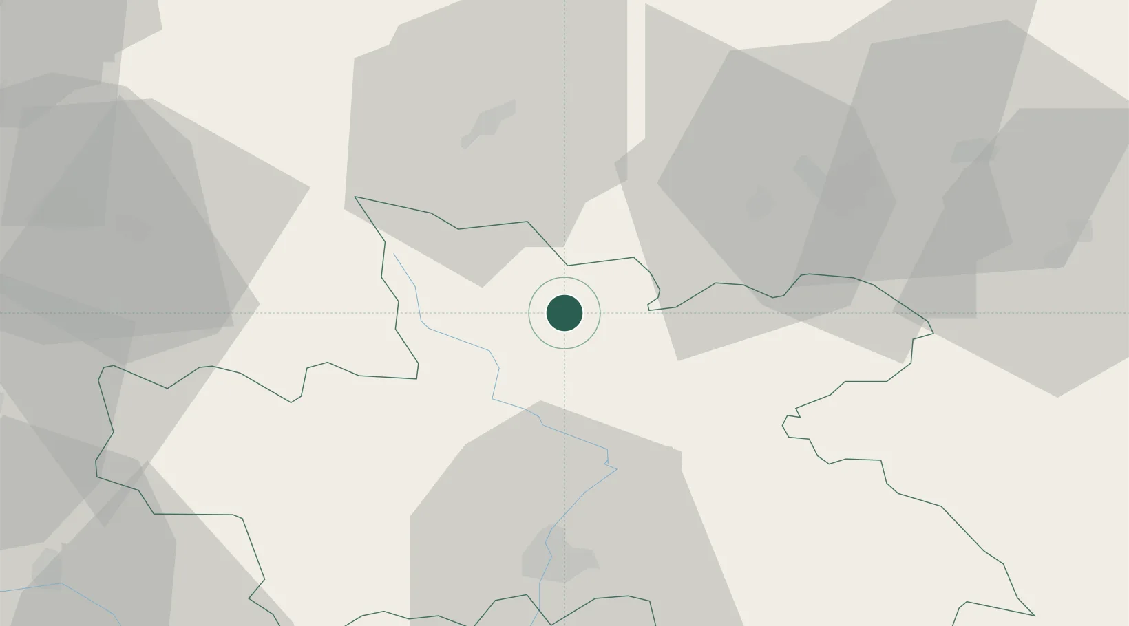
Hub Profile
Place type
Populated place
Region
Královéhradecký kraj
Population
2,232
Time zone
Europe/Prague
Elevation
486 m
Location
Nearby Logistics Neighbours
Cities
- 1Borsov nad Vltavou11 km
- 2Malé Svatonovice16 km
- 3Vrchlabí18 km
- 4Dvur Králové nad Labem19 km
- 5Horka u Stare Paky22 km
Ports
- 1Szczecin326 km
- 2Police341 km
- 3Swinoujscie384 km
- 4Kolobrzeg403 km
- 5Wolgast409 km
Airports
- 1Pardubice Airport66 km
- 2Kostomlaty Airstrip79 km
- 3Čáslav Air Base81 km
- 4Copernicus Wrocław Airport92 km
- 5Rothenburg/Görlitz Airfield106 km
Trade Zones
DatabookThe Record of Consolidated Knowledge
Czechia beyond logistics?