UN/LOCODE hub · Czechia
CZBYP

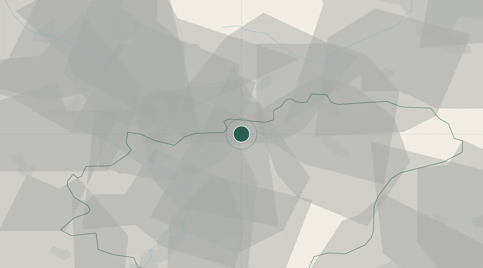
Bystrice pod Hostýnem

49.4000°, 17.6833°
8,002
Population
3
Transport functions

Transport Functions

Rail
Road
Multimodal
UN/LOCODE

Hub Profile

Place type
Populated place
GeoNames
Region
Zlín
GeoNames
Population
8,002
GeoNames
Time zone
Europe/Prague
GeoNames
Elevation
320 m
GeoNames

Location

Location of CZBYP
Natural Earth 10m (public domain) · Zlín · CZBYP · 49.40, 17.68GoogleOSMYandex

Nearby Logistics Neighbours

Cities
  1. 1Domazelice10 km
  2. 2Kunovice11 km
  3. 3Frystak11 km
  4. 4Pavlovice u Prerova13 km
  5. 5Kelc13 km
Nearest neighbours — logibook spatial index (haversine) over the source coordinates
Ports
  1. 1Szczecin497 km
  2. 2Monfalcone508 km
  3. 3Trieste511 km
  4. 4Police511 km
  5. 5Bakar514 km
Nearest neighbours — logibook spatial index (haversine) over the source coordinates
Airports
  1. 1Přerov Air Base20 km
  2. 2Kunovice Airport45 km
  3. 3Leoš Janáček Airport Ostrava45 km
  4. 4Žilina-Dolný Hričov Airport70 km
  5. 5Brno-Tuřany Airport77 km
Nearest neighbours — logibook spatial index (haversine) over the source coordinates
Trade Zones
  1. 1Holešov Industrial Zone13 km
  2. 2Mošnov Development Area45 km
  3. 3Veselí nad Moravou Industrial Zone54 km
  4. 4Bruntál Industrial Zone69 km
  5. 5Krnov - Červený Dvůr Municipal Industrial Zone75 km
Nearest neighbours — logibook spatial index (haversine) over the source coordinates
DatabookThe Record of Consolidated Knowledge
Czechia beyond logistics?
Browse databook

All Sources

LocationsUN/LOCODE
UN/LOCODE — free
LocationsGeoNames
CC BY 4.0
Portsthe NGA World Port Index
Public domain (US gov)
AirportsOurAirports
Public domain
Trade Zonesthe World Bank SEZ database
CC BY 4.0
Trade ZonesOpen Zone Map
CC BY
← Czechia locations