Transport Functions
Multimodal
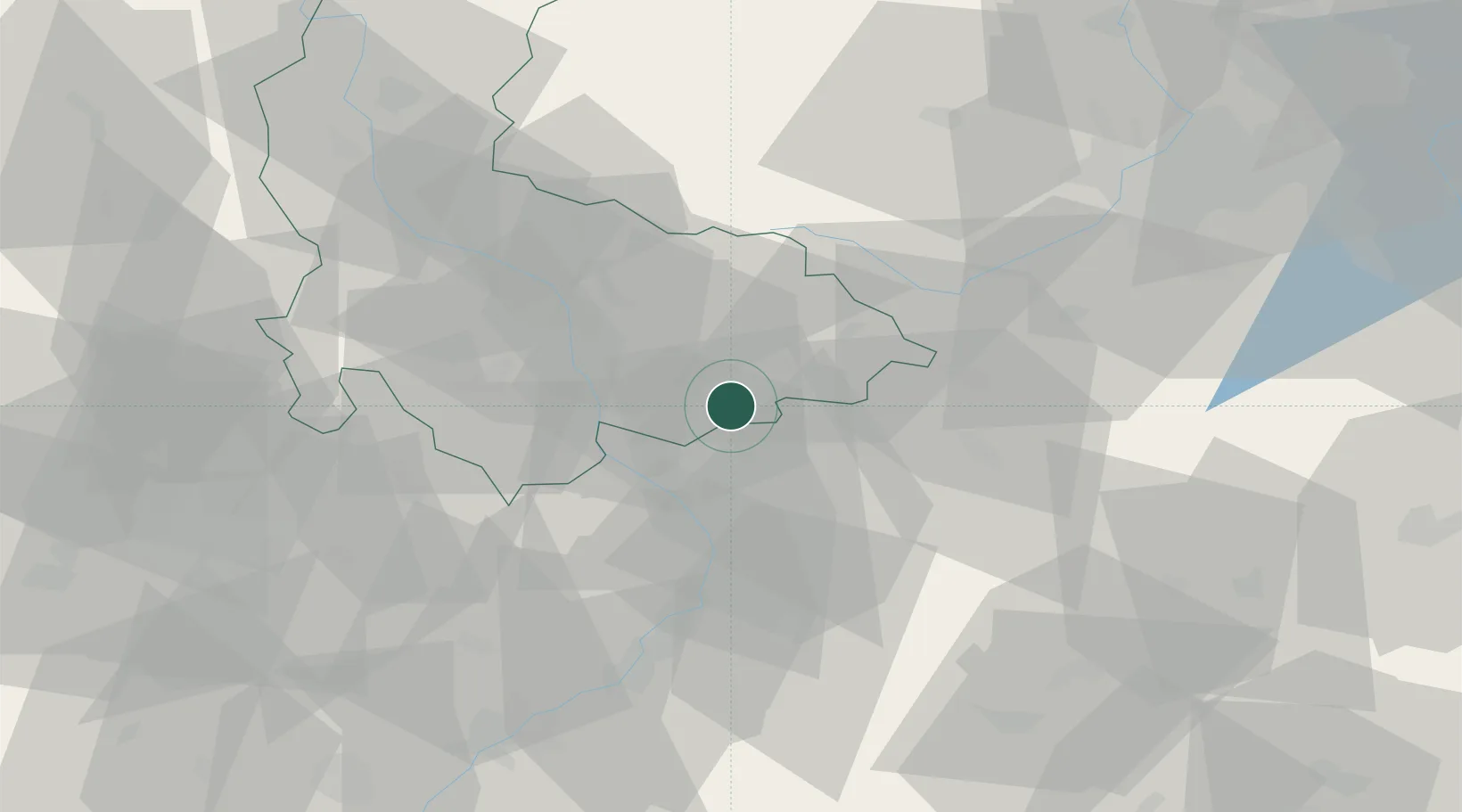
Hub Profile
Place type
Populated place
Region
Olomoucký
Population
453
Time zone
Europe/Prague
Elevation
229 m
Location
Nearby Logistics Neighbours
Cities
- 1Zelatovice4 km
- 2Pavlovice u Prerova4 km
- 3Osek nad Becvou9 km
- 4Lipnik nad Becvou10 km
- 5Bystrice pod Hostýnem10 km
Ports
- 1Szczecin489 km
- 2Police504 km
- 3Monfalcone505 km
- 4Trieste508 km
- 5Muggia512 km
Airports
- 1Přerov Air Base11 km
- 2Kunovice Airport46 km
- 3Leoš Janáček Airport Ostrava50 km
- 4Brno-Tuřany Airport70 km
- 5Žilina-Dolný Hričov Airport80 km
Trade Zones
DatabookThe Record of Consolidated Knowledge
Czechia beyond logistics?