Transport Functions
Multimodal
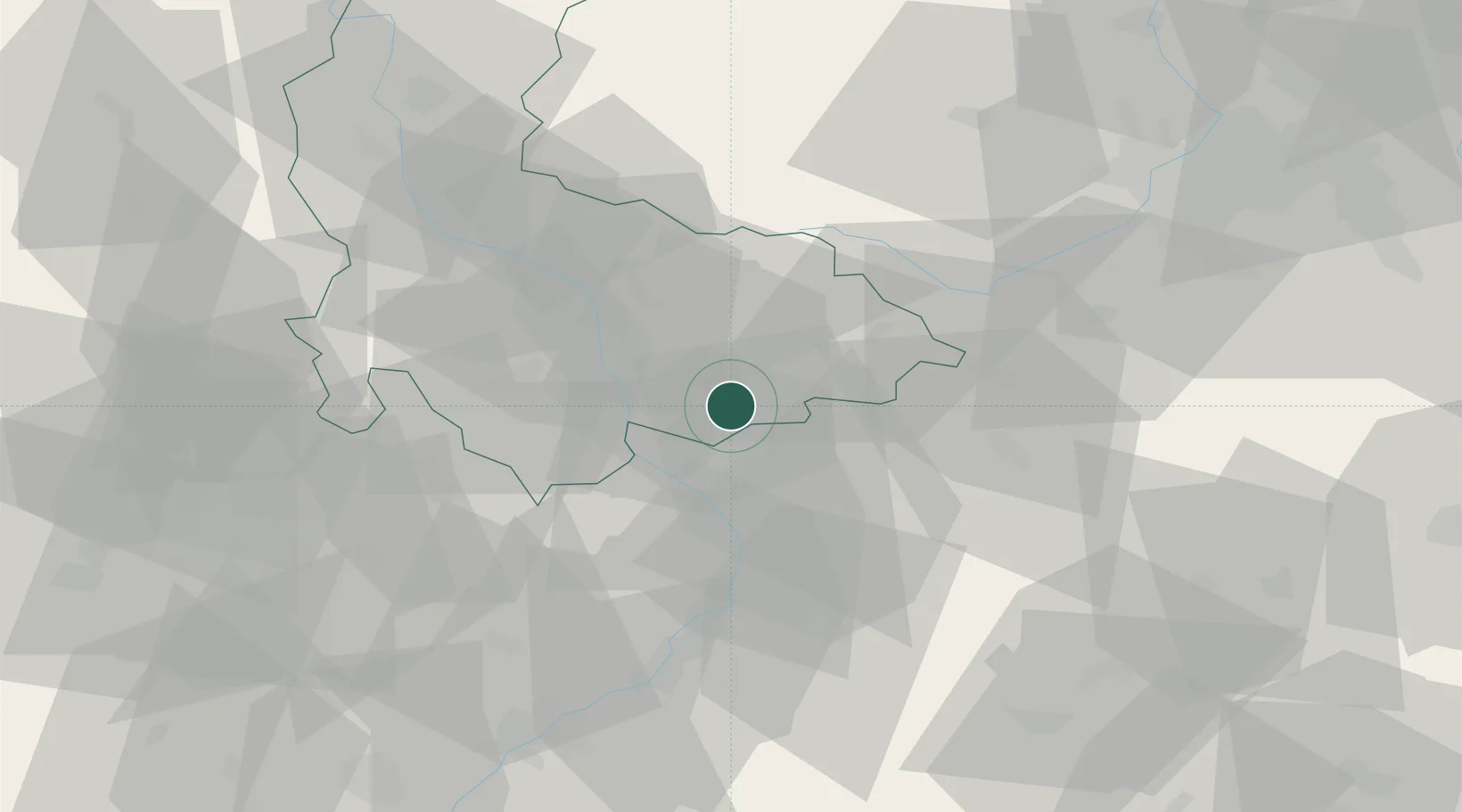
Hub Profile
Place type
Populated place
Region
Olomoucký
Population
550
Time zone
Europe/Prague
Elevation
225 m
Location
Nearby Logistics Neighbours
Cities
- 1Domazelice4 km
- 2Pavlovice u Prerova4 km
- 3Osek nad Becvou10 km
- 4Lipnik nad Becvou11 km
- 5Dolni Ujezd (u Prerova)13 km
Ports
- 1Szczecin488 km
- 2Monfalcone502 km
- 3Police502 km
- 4Trieste506 km
- 5Muggia510 km
Airports
- 1Přerov Air Base7 km
- 2Kunovice Airport45 km
- 3Leoš Janáček Airport Ostrava53 km
- 4Brno-Tuřany Airport66 km
- 5Žilina-Dolný Hričov Airport84 km
Trade Zones
DatabookThe Record of Consolidated Knowledge
Czechia beyond logistics?