Transport Functions
Multimodal
Hub Profile
Place type
Populated place
Region
Královéhradecký kraj
Population
1,027
Time zone
Europe/Prague
Elevation
285 m
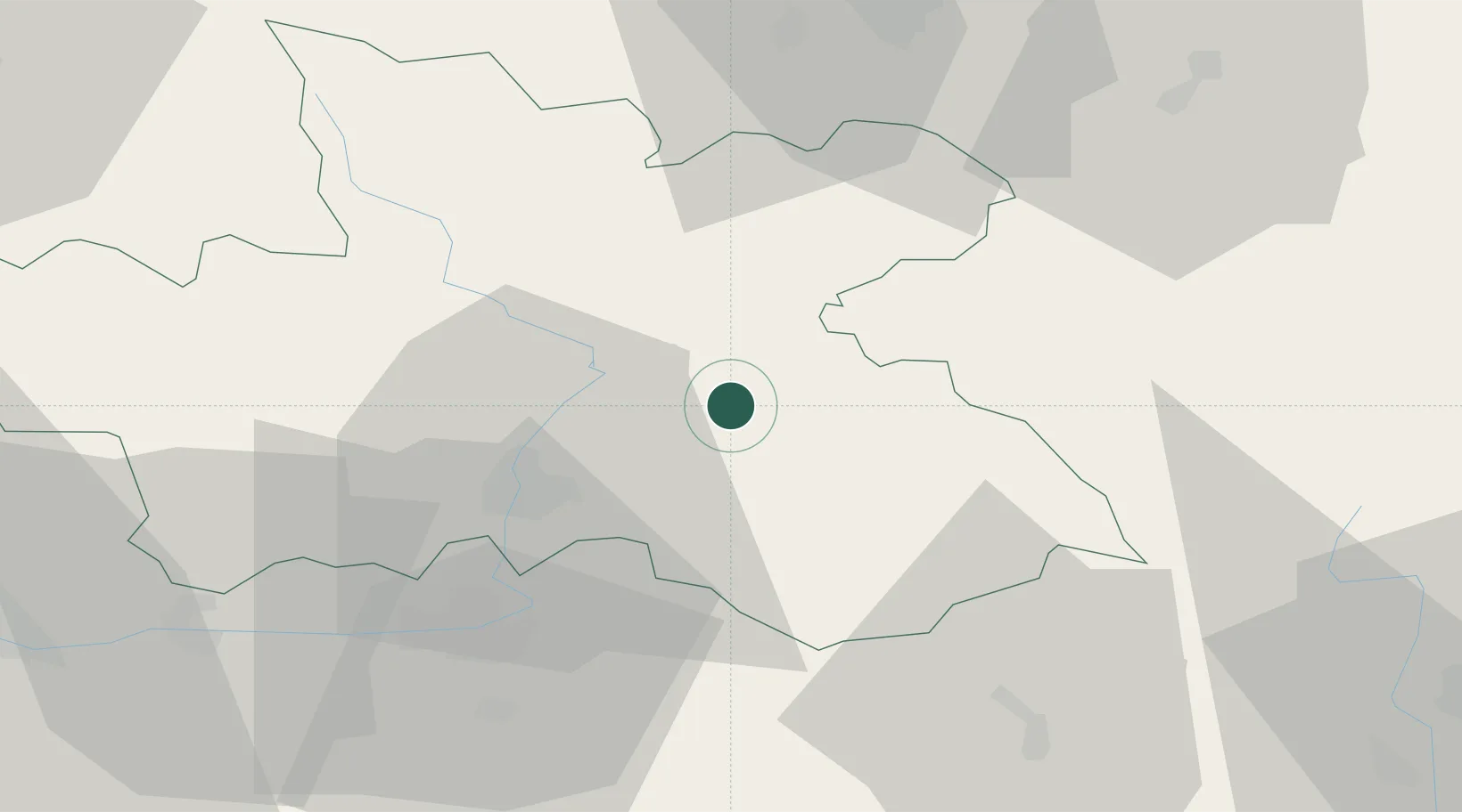
Location
Nearby Logistics Neighbours
Cities
- 1Ceské Mezirící4 km
- 2Opocno6 km
- 3Ceská Skalice10 km
- 4Jaromer12 km
- 5Hermanice nad Labem13 km
Ports
- 1Szczecin360 km
- 2Police376 km
- 3Swinoujscie419 km
- 4Kolobrzeg435 km
- 5Wolgast444 km
Airports
- 1Pardubice Airport42 km
- 2Čáslav Air Base65 km
- 3Kostomlaty Airstrip83 km
- 4Copernicus Wrocław Airport104 km
- 5Prague–Kbely Air Base112 km
Trade Zones
DatabookThe Record of Consolidated Knowledge
Czechia beyond logistics?