Transport Functions
Port
Multimodal
Hub Profile
Place type
Populated place
Region
Královéhradecký kraj
Population
3,177
Time zone
Europe/Prague
Elevation
308 m
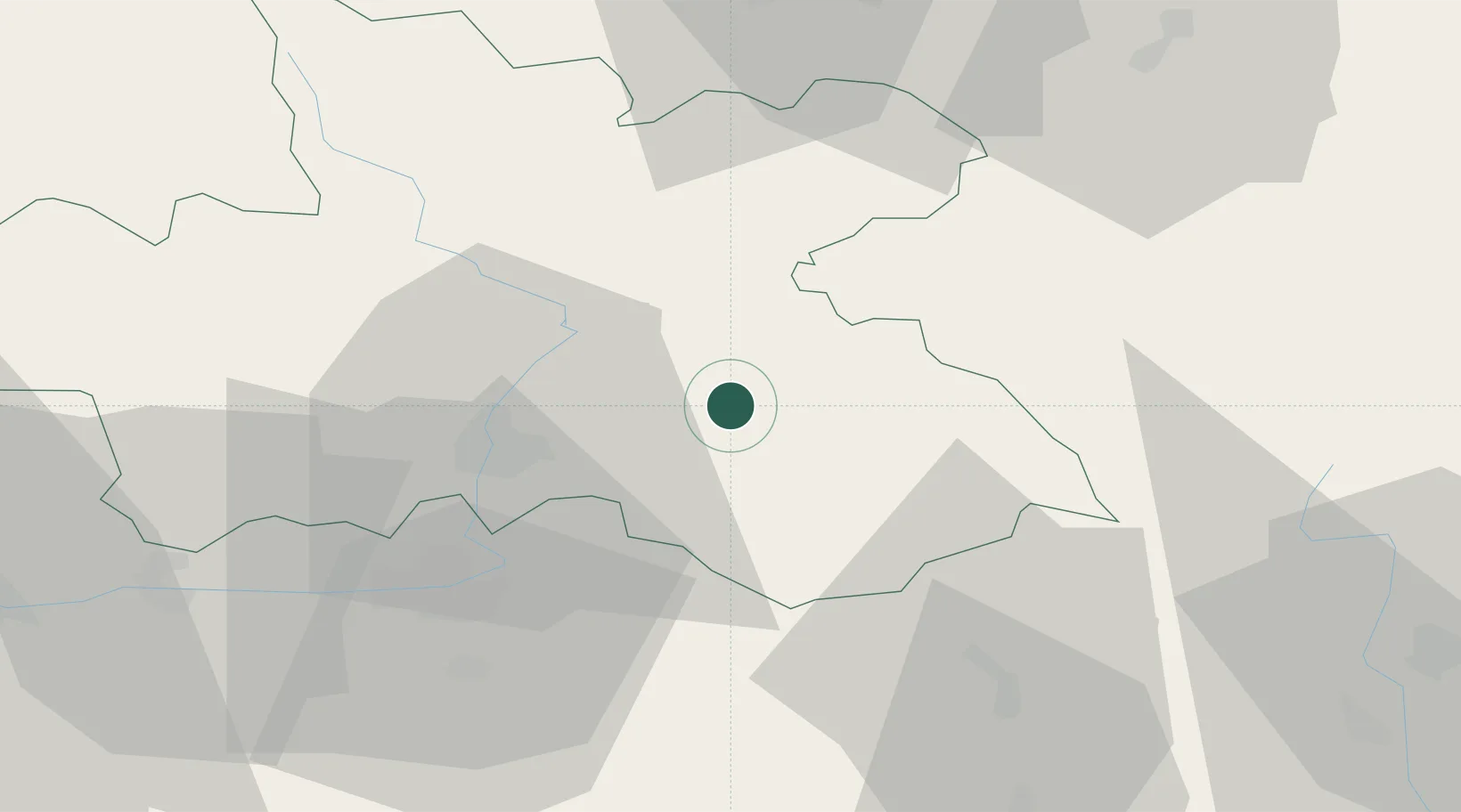
Location
Nearby Logistics Neighbours
Cities
- 1Ceské Mezirící5 km
- 2Bohuslavice6 km
- 3Kvasiny12 km
- 4Ceská Skalice16 km
- 5Jaromer17 km
Ports
- 1Szczecin366 km
- 2Police382 km
- 3Swinoujscie425 km
- 4Kolobrzeg441 km
- 5Wolgast450 km
Airports
- 1Pardubice Airport39 km
- 2Čáslav Air Base64 km
- 3Kostomlaty Airstrip85 km
- 4Copernicus Wrocław Airport108 km
- 5Prague–Kbely Air Base113 km
Trade Zones
DatabookThe Record of Consolidated Knowledge
Czechia beyond logistics?