Transport Functions
Multimodal
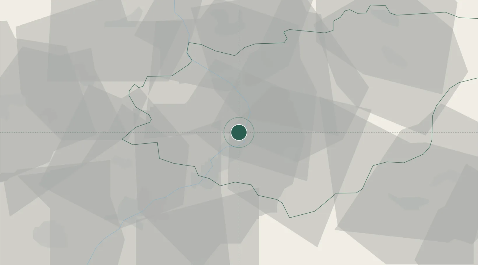
Hub Profile
Place type
Populated place
Region
Zlín
Population
1,754
Time zone
Europe/Prague
Elevation
182 m
Location
Nearby Logistics Neighbours
Cities
- 1Stare Mesto u Uherskeho Hradiste4 km
- 2Spytihnev4 km
- 3Uherské Hradiste6 km
- 4Kunovice8 km
- 5Brezolupy8 km
Ports
- 1Monfalcone474 km
- 2Trieste477 km
- 3Bakar479 km
- 4Rijeka Luka480 km
- 5Muggia481 km
Airports
- 1Kunovice Airport10 km
- 2Přerov Air Base35 km
- 3Brno-Tuřany Airport58 km
- 4Piešťany Airport60 km
- 5Leoš Janáček Airport Ostrava79 km
Trade Zones
DatabookThe Record of Consolidated Knowledge
Czechia beyond logistics?