UN/LOCODE hub · Czechia
CZUHE
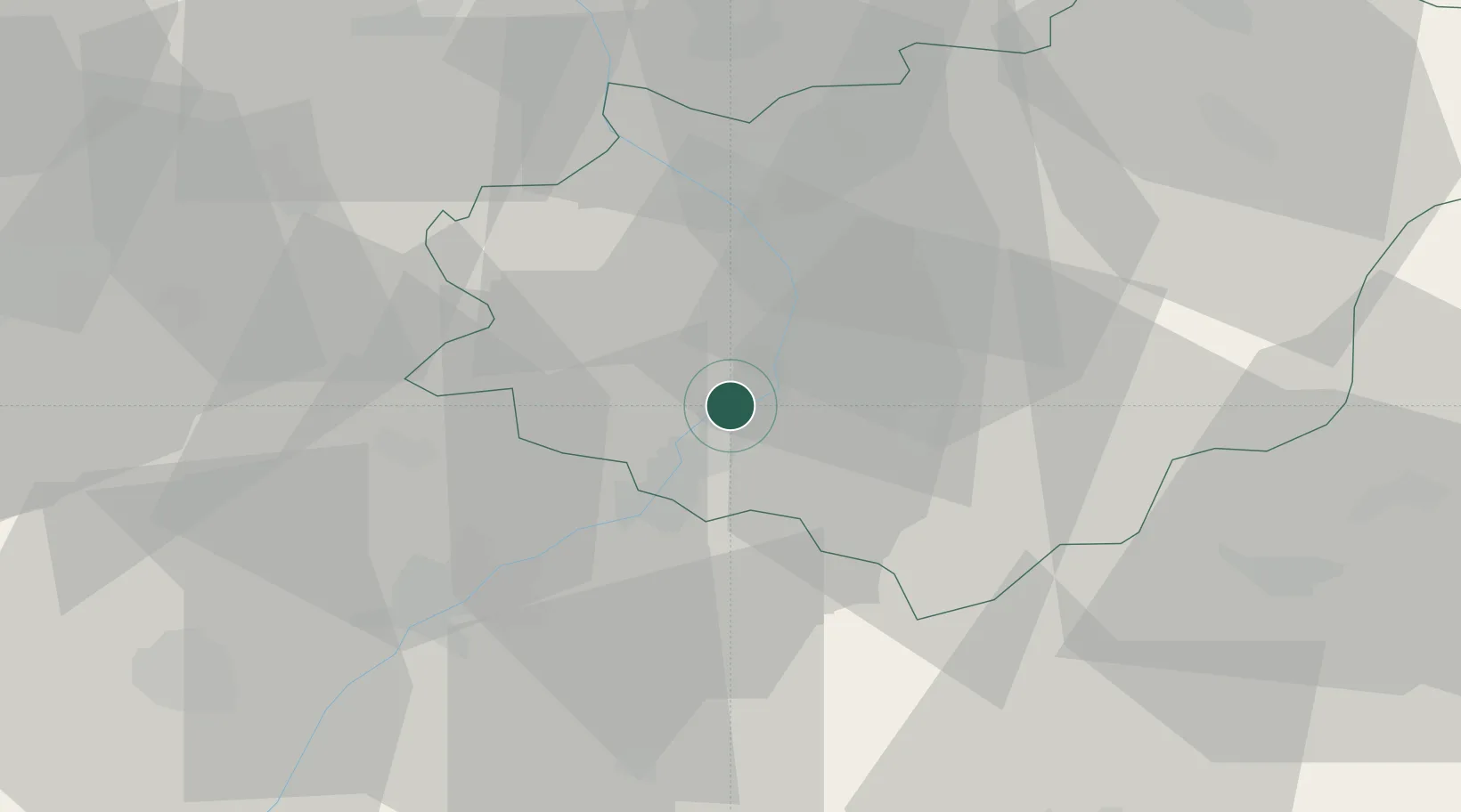
Uherské Hradiste
49.0667°, 17.4500°
24,887
Population
3
Transport functions
Transport Functions
Rail
Road
Airport
Hub Profile
Place type
Populated place
Region
Zlín
Population
24,887
Time zone
Europe/Prague
Elevation
179 m
Location
Nearby Logistics Neighbours
Cities
- 1Stare Mesto u Uherskeho Hradiste2 km
- 2Kunovice2 km
- 3Ostrozská Nová Ves6 km
- 4Babice6 km
- 5Nedakonice6 km
Ports
- 1Monfalcone468 km
- 2Trieste471 km
- 3Bakar473 km
- 4Rijeka Luka474 km
- 5Muggia475 km
Airports
- 1Kunovice Airport4 km
- 2Přerov Air Base40 km
- 3Brno-Tuřany Airport56 km
- 4Piešťany Airport56 km
- 5Malacky/Kuchyňa Air Base78 km
Trade Zones
DatabookThe Record of Consolidated Knowledge
Czechia beyond logistics?