UN/LOCODE hub · Czechia
CZZSE

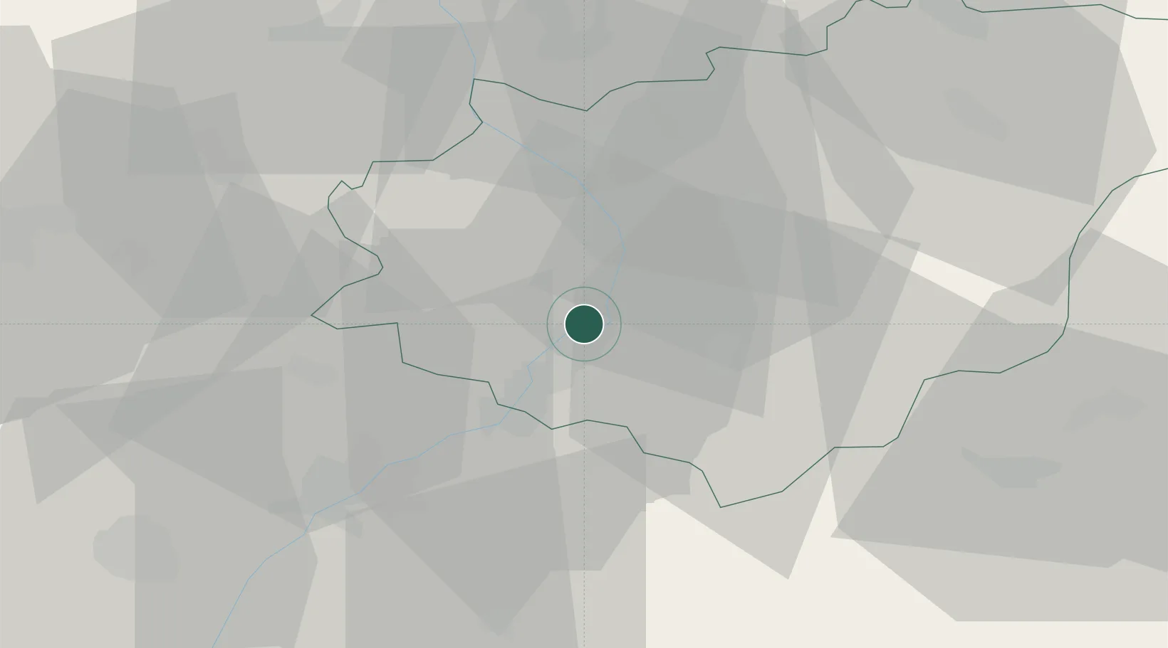
Stare Mesto u Uherskeho Hradiste

49.0833°, 17.4667°
1
Transport functions

Transport Functions

Multimodal
UN/LOCODE

Hub Profile

Region
ZL
GeoNames

Location

Location of CZZSE
Natural Earth 10m (public domain) · ZL · CZZSE · 49.08, 17.47GoogleOSMYandex

Nearby Logistics Neighbours

Cities
  1. 1Uherské Hradiste2 km
  2. 2Kunovice4 km
  3. 3Babice4 km
  4. 4Ostrozská Nová Ves8 km
  5. 5Nedakonice8 km
Nearest neighbours — logibook spatial index (haversine) over the source coordinates
Ports
  1. 1Monfalcone470 km
  2. 2Trieste473 km
  3. 3Bakar475 km
  4. 4Rijeka Luka476 km
  5. 5Muggia477 km
Nearest neighbours — logibook spatial index (haversine) over the source coordinates
Airports
  1. 1Kunovice Airport6 km
  2. 2Přerov Air Base38 km
  3. 3Brno-Tuřany Airport57 km
  4. 4Piešťany Airport57 km
  5. 5Malacky/Kuchyňa Air Base80 km
Nearest neighbours — logibook spatial index (haversine) over the source coordinates
Trade Zones
  1. 1Veselí nad Moravou Industrial Zone16 km
  2. 2Holešov Industrial Zone28 km
  3. 3Černovická Terasa Industrial Zone59 km
  4. 4Mošnov Development Area82 km
  5. 5Bruntál Industrial Zone103 km
Nearest neighbours — logibook spatial index (haversine) over the source coordinates
DatabookThe Record of Consolidated Knowledge
Czechia beyond logistics?
Browse databook

All Sources

LocationsUN/LOCODE
UN/LOCODE — free
Portsthe NGA World Port Index
Public domain (US gov)
AirportsOurAirports
Public domain
Trade Zonesthe World Bank SEZ database
CC BY 4.0
Trade ZonesOpen Zone Map
CC BY
← Czechia locations