Transport Functions
Port
Multimodal
Hub Profile
Place type
Populated place
Region
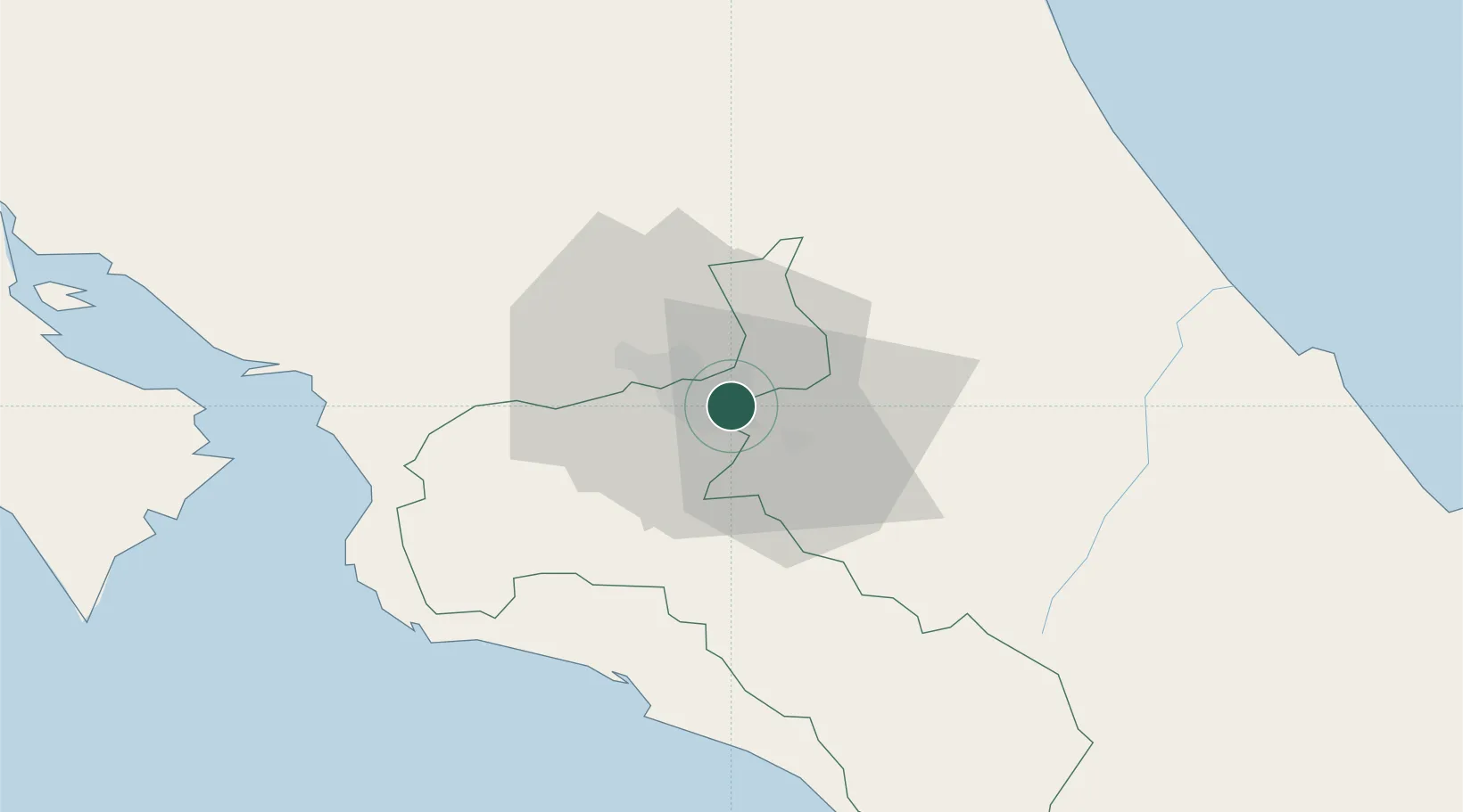
San José
Population
34,586
Time zone
America/Costa_Rica
Elevation
1,192 m
Location
Nearby Logistics Neighbours
Cities
- 1Calle Blancos5 km
- 2Ochomogo9 km
- 3Santo Domingo10 km
- 4San José10 km
- 5Cartago11 km
Ports
- 1Puerto Quepos56 km
- 2Puerto Caldera75 km
- 3Puntarenas88 km
- 4Puerto Moin105 km
- 5Puerto Limon112 km
Airports
Trade Zones
DatabookThe Record of Consolidated Knowledge
Costa Rica beyond logistics?