Transport Functions
Rail
Road
Hub Profile
Place type
Regional capital
Region
Cartago Province
Population
26,594
Time zone
America/Costa_Rica
Elevation
1,440 m
Logistics facilities
2
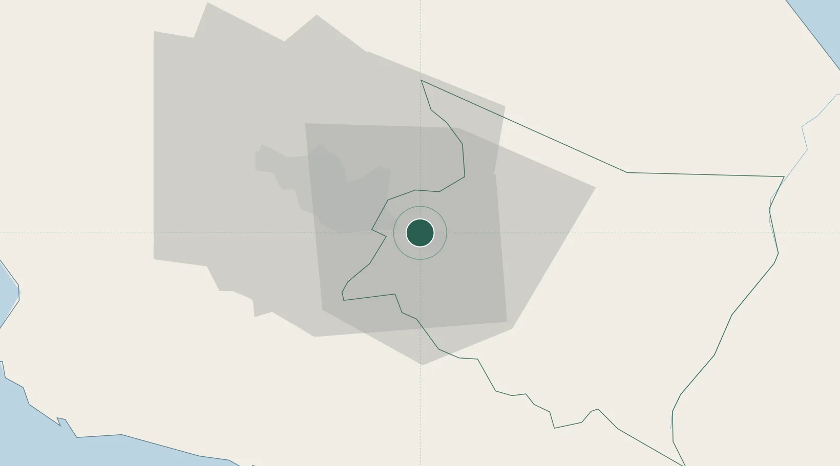
Location
Nearby Logistics Neighbours
Cities
- 1Ochomogo3 km
- 2Tierra Blanca7 km
- 3Curridabat11 km
- 4Pacayas14 km
- 5Calle Blancos16 km
Ports
- 1Puerto Quepos55 km
- 2Puerto Caldera85 km
- 3Puerto Moin95 km
- 4Puntarenas98 km
- 5Puerto Limon102 km
Airports
Trade Zones
DatabookThe Record of Consolidated Knowledge
Costa Rica beyond logistics?