Transport Functions
Port
Rail
Road
Airport
Postal
Hub Profile
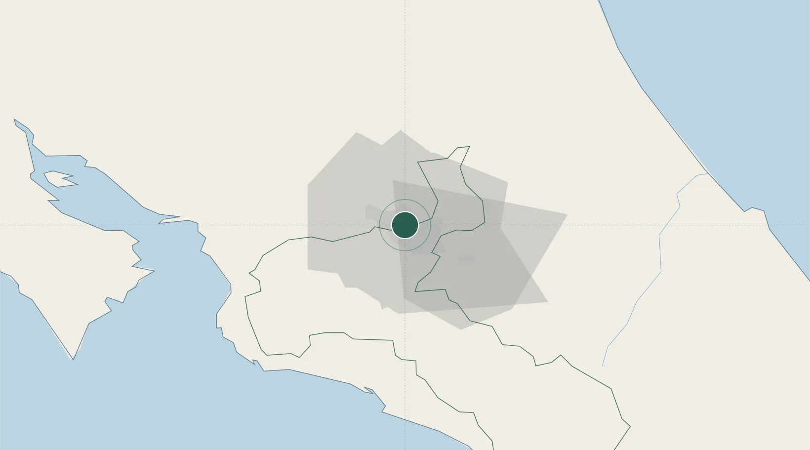
Place type
National capital
Region
San José
Population
335,007
Time zone
America/Costa_Rica
Elevation
1,133 m
Logistics facilities
4
Location
Nearby Logistics Neighbours
Cities
- 1Santo Domingo2 km
- 2Barrial4 km
- 3Calle Blancos5 km
- 4Heredia7 km
- 5La Ribera9 km
Ports
- 1Puerto Quepos59 km
- 2Puerto Caldera67 km
- 3Puntarenas79 km
- 4Puerto Moin112 km
- 5Puerto Limon120 km
Airports
Trade Zones
- 1UltraPark II1 km
- 2Ultrapark LAG Free Zone1 km
- 3Torre Universal4 km
- 4UltraPark Escazú4 km
- 5Parque Empresarial Del Este4 km
DatabookThe Record of Consolidated Knowledge
Costa Rica beyond logistics?