Transport Functions
Multimodal
Hub Profile
Place type
Populated place
Region
Cartago Province
Time zone
America/Costa_Rica
Elevation
1,511 m
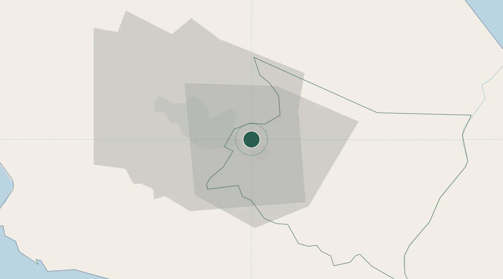
Location
Nearby Logistics Neighbours
Cities
- 1Cartago3 km
- 2Tierra Blanca6 km
- 3Curridabat9 km
- 4Calle Blancos14 km
- 5Pacayas16 km
Ports
- 1Puerto Quepos57 km
- 2Puerto Caldera84 km
- 3Puerto Moin96 km
- 4Puntarenas97 km
- 5Puerto Limon103 km
Airports
Trade Zones
DatabookThe Record of Consolidated Knowledge
Costa Rica beyond logistics?