UN/LOCODE hub · Costa Rica
CRSDG

Santo Domingo

9.9729°, -84.1004°
1
Transport functions

Transport Functions

Multimodal
UN/LOCODE

Hub Profile

Place type
Populated place
GeoNames
Region
Heredia Province
GeoNames
Time zone
America/Costa_Rica
GeoNames
Elevation
1,166 m
GeoNames
Logistics facilities
1
UN/LOCODE

Location

Location of CRSDG
Natural Earth 10m (public domain) · Heredia Province · CRSDG · 9.97, -84.10GoogleOSMYandex

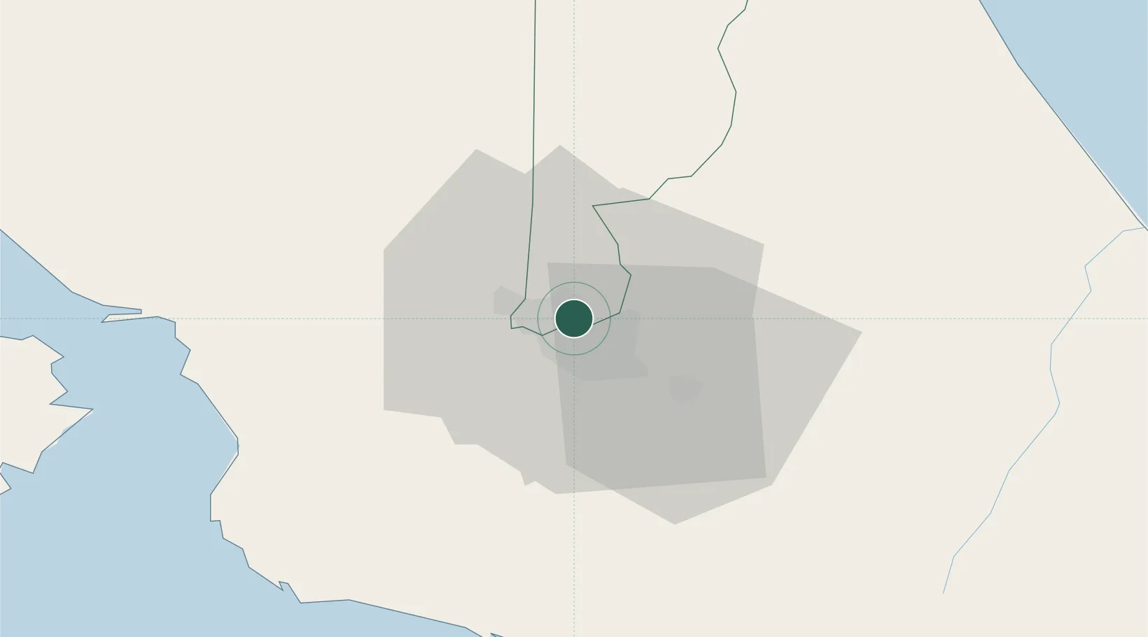
Nearby Logistics Neighbours

Cities
  1. 1San José2 km
  2. 2Barrial4 km
  3. 3Calle Blancos5 km
  4. 4Heredia7 km
  5. 5La Ribera9 km
Nearest neighbours — logibook spatial index (haversine) over the source coordinates
Ports
  1. 1Puerto Quepos60 km
  2. 2Puerto Caldera68 km
  3. 3Puntarenas80 km
  4. 4Puerto Moin111 km
  5. 5Puerto Limon119 km
Nearest neighbours — logibook spatial index (haversine) over the source coordinates
Airports
  1. 1Tobías Bolaños International Airport5 km
  2. 2Juan Santamaría International Airport12 km
  3. 3Guapiles Airport43 km
  4. 4Quepos Managua Airport59 km
  5. 5Aerotortuguero Airport73 km
Nearest neighbours — logibook spatial index (haversine) over the source coordinates
Trade Zones
  1. 1UltraPark II2 km
  2. 2Ultrapark LAG Free Zone2 km
  3. 3Parque Empresarial Del Este4 km
  4. 4Del Este Free Zone4 km
  5. 5El Roble Industrial Logistics Zone (RILZ)5 km
Nearest neighbours — logibook spatial index (haversine) over the source coordinates
DatabookThe Record of Consolidated Knowledge
Costa Rica beyond logistics?
Browse databook

All Sources

LocationsUN/LOCODE
UN/LOCODE — free
Portsthe NGA World Port Index
Public domain (US gov)
AirportsOurAirports
Public domain
Trade Zonesthe World Bank SEZ database
CC BY 4.0
Trade ZonesOpen Zone Map
CC BY
← Costa Rica locations