UN/LOCODE hub · Costa Rica
CRCAE

Calle Blancos

9.9500°, -84.0667°
20,710
Population
1
Transport functions

Transport Functions

Multimodal
UN/LOCODE

Hub Profile

Place type
Urban district
GeoNames
Region
San José
GeoNames
Population
20,710
GeoNames
Time zone
America/Costa_Rica
GeoNames
Elevation
1,155 m
GeoNames

Location

Location of CRCAE
Natural Earth 10m (public domain) · San José · CRCAE · 9.95, -84.07GoogleOSMYandex

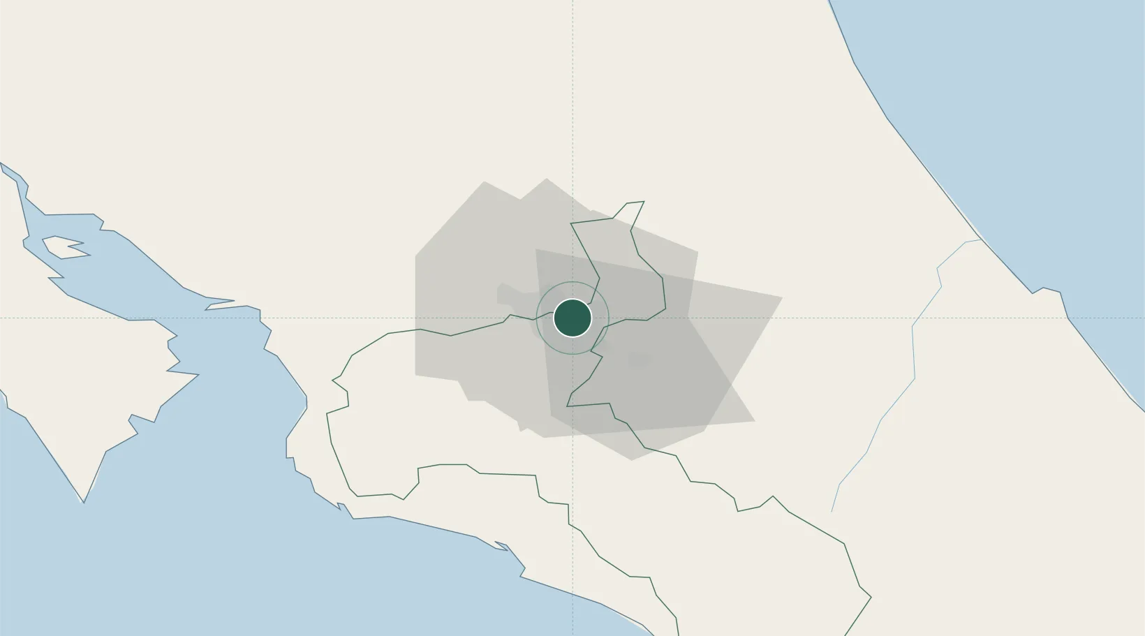
Nearby Logistics Neighbours

Cities
  1. 1Santo Domingo5 km
  2. 2San José5 km
  3. 3Curridabat5 km
  4. 4Barrial8 km
  5. 5Heredia12 km
Nearest neighbours — logibook spatial index (haversine) over the source coordinates
Ports
  1. 1Puerto Quepos59 km
  2. 2Puerto Caldera71 km
  3. 3Puntarenas84 km
  4. 4Puerto Moin108 km
  5. 5Puerto Limon115 km
Nearest neighbours — logibook spatial index (haversine) over the source coordinates
Airports
  1. 1Tobías Bolaños International Airport8 km
  2. 2Juan Santamaría International Airport16 km
  3. 3Guapiles Airport42 km
  4. 4Quepos Managua Airport57 km
  5. 5Aerotortuguero Airport72 km
Nearest neighbours — logibook spatial index (haversine) over the source coordinates
Trade Zones
  1. 1El Roble Industrial Logistics Zone (RILZ)0 km
  2. 2Parque Empresarial Del Este1 km
  3. 3Del Este Free Zone1 km
  4. 4Torre Universal4 km
  5. 5UltraPark II6 km
Nearest neighbours — logibook spatial index (haversine) over the source coordinates
DatabookThe Record of Consolidated Knowledge
Costa Rica beyond logistics?
Browse databook

All Sources

LocationsUN/LOCODE
UN/LOCODE — free
LocationsGeoNames
CC BY 4.0
Portsthe NGA World Port Index
Public domain (US gov)
AirportsOurAirports
Public domain
Trade Zonesthe World Bank SEZ database
CC BY 4.0
Trade ZonesOpen Zone Map
CC BY
← Costa Rica locations