Large airport · Costa Rica

Juan Santamaría International AirportMROC
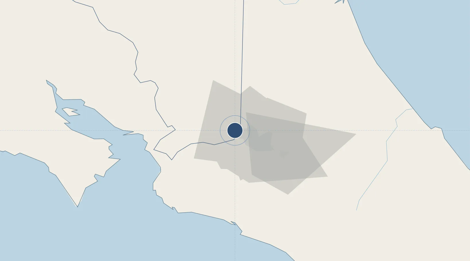
9.9939°, -84.2088°
9,882 ft
Longest runway
1
Runways
3,021 ft
Elevation

Runway & Layout

Juan Santamaría International Airport runway & taxiway layout
Runway & taxiway layout — OpenStreetMap (ODbL) / OurAirports

Radio Frequencies

TWR
118.6 MHz
COCO TWR
GND
121.9 MHz
CLD
121.3 MHz
CLNC
APP
120.5 MHz
COCO APP
ACC
119.6 MHz
COCO CON
RDO
126.8 MHz
COCO RDO
OurAirports

Navaids

HOR NDB Horcones 260 kHz
TIO VOR-DME El Coco 115.70 MHz
OurAirports

Runways · 1

RunwayDimensions SurfaceTrue headingLit
07/25 9,882 × 151ft Asphalt 069°
OurAirports

Airport Specifications

IATA code
SJO
OurAirports
ICAO code
MROC
OurAirports
Airport class
Large airport
OurAirports
Scheduled service
Yes
OurAirports
Runway surface
Asphalt
OurAirports
Served city
San José (Alajuela)
OurAirports

Location

Location of MROC
Natural Earth 10m (public domain) · Alajuela · MROC · 9.99, -84.21GoogleOSMYandex

Nearby Logistics Neighbours

Airports
  1. 1Tobías Bolaños International Airport9 km
  2. 2Guapiles Airport52 km
  3. 3Quepos Managua Airport62 km
  4. 4La Fortuna Arenal Airport67 km
  5. 5Aerotortuguero Airport81 km
Nearest neighbours — logibook spatial index (haversine) over the source coordinates
Cities
  1. 1Rio Segundo1 km
  2. 2Alajuela3 km
  3. 3La Ribera3 km
  4. 4Coyol5 km
  5. 5Heredia5 km
Nearest neighbours — logibook spatial index (haversine) over the source coordinates
Ports
  1. 1Puerto Caldera56 km
  2. 2Puerto Quepos63 km
  3. 3Puntarenas68 km
  4. 4Puerto Moin123 km
  5. 5Puerto Limon131 km
Nearest neighbours — logibook spatial index (haversine) over the source coordinates
Trade Zones
  1. 1Zeta Free Zone Alajuela3 km
  2. 2Lindora Park Free Zone4 km
  3. 3Greenpark4 km
  4. 4Zona Franca America5 km
  5. 5America Free Zone5 km
Nearest neighbours — logibook spatial index (haversine) over the source coordinates
DatabookThe Record of Consolidated Knowledge
Costa Rica beyond logistics?
Browse databook

All Sources

AirportsOurAirports
Public domain
Portsthe NGA World Port Index
Public domain (US gov)
LocationsUN/LOCODE
UN/LOCODE — free
Trade Zonesthe World Bank SEZ database
CC BY 4.0
Trade ZonesOpen Zone Map
CC BY
InfrastructureOpenStreetMap
ODbL 1.0
← Costa Rica airports