Transport Functions
Multimodal
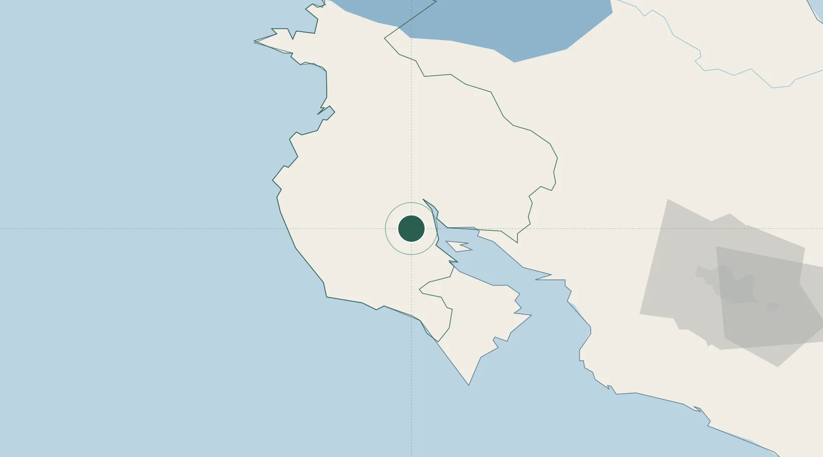
Hub Profile
Place type
Populated place
Region
Heredia Province
Time zone
America/Costa_Rica
Elevation
1,181 m
Location
Nearby Logistics Neighbours
Ports
- 1Puntarenas58 km
- 2Puerto Caldera73 km
- 3Puerto Quepos152 km
- 4Puerto Moin247 km
- 5Puerto Limon254 km
Airports
- 1Nosara Airport41 km
- 2Daniel Oduber Quirós International Airport53 km
- 3Upala Airport88 km
- 4La Fortuna Arenal Airport89 km
- 5Los Chiles Airport118 km
Trade Zones
- 1Zona Franca Puntarenas, SA70 km
- 2Puntarenas Free Trade Zone78 km
- 3Activa Industrial Park109 km
- 4AAA Top Talent Free Trade Zone110 km
- 5Coyol Free Zone117 km
DatabookThe Record of Consolidated Knowledge
Costa Rica beyond logistics?