UN/LOCODE hub · Costa Rica
CRPRL

Paso Real

10.4333°, -85.1667°
1
Transport functions

Transport Functions

Multimodal
UN/LOCODE

Hub Profile

Place type
Populated place
GeoNames
Region
Guanacaste Province
GeoNames
Time zone
America/Costa_Rica
GeoNames
Elevation
24 m
GeoNames

Location

Location of CRPRL
Natural Earth 10m (public domain) · Guanacaste Province · CRPRL · 10.43, -85.17GoogleOSMYandex

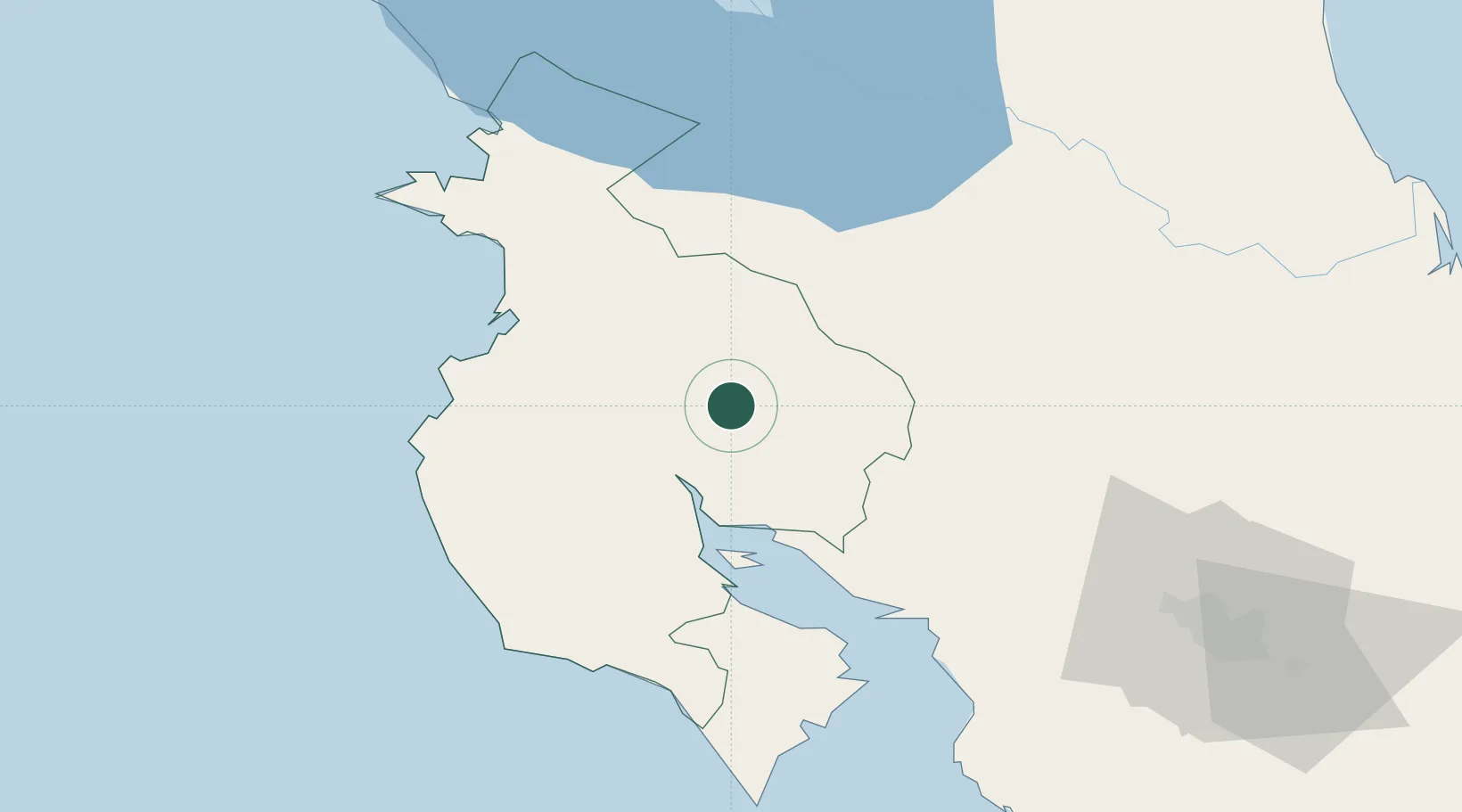
Nearby Logistics Neighbours

Cities
  1. 1Bagaces14 km
  2. 2Ciruelas21 km
  3. 3Quebrada Grande24 km
  4. 4Abangares29 km
  5. 5Barva35 km
Nearest neighbours — logibook spatial index (haversine) over the source coordinates
Ports
  1. 1Puntarenas62 km
  2. 2Puerto Caldera76 km
  3. 3Puerto Quepos156 km
  4. 4Puerto Moin233 km
  5. 5Bluefields234 km
Nearest neighbours — logibook spatial index (haversine) over the source coordinates
Airports
  1. 1Daniel Oduber Quirós International Airport45 km
  2. 2Upala Airport54 km
  3. 3La Fortuna Arenal Airport64 km
  4. 4Nosara Airport74 km
  5. 5Los Chiles Airport84 km
Nearest neighbours — logibook spatial index (haversine) over the source coordinates
Trade Zones
  1. 1Zona Franca Puntarenas, SA70 km
  2. 2Puntarenas Free Trade Zone80 km
  3. 3Activa Industrial Park100 km
  4. 4AAA Top Talent Free Trade Zone100 km
  5. 5Coyol Free Zone109 km
Nearest neighbours — logibook spatial index (haversine) over the source coordinates
DatabookThe Record of Consolidated Knowledge
Costa Rica beyond logistics?
Browse databook

All Sources

LocationsUN/LOCODE
UN/LOCODE — free
Portsthe NGA World Port Index
Public domain (US gov)
AirportsOurAirports
Public domain
Trade Zonesthe World Bank SEZ database
CC BY 4.0
Trade ZonesOpen Zone Map
CC BY
← Costa Rica locations