Transport Functions
Port
Road
Hub Profile
Place type
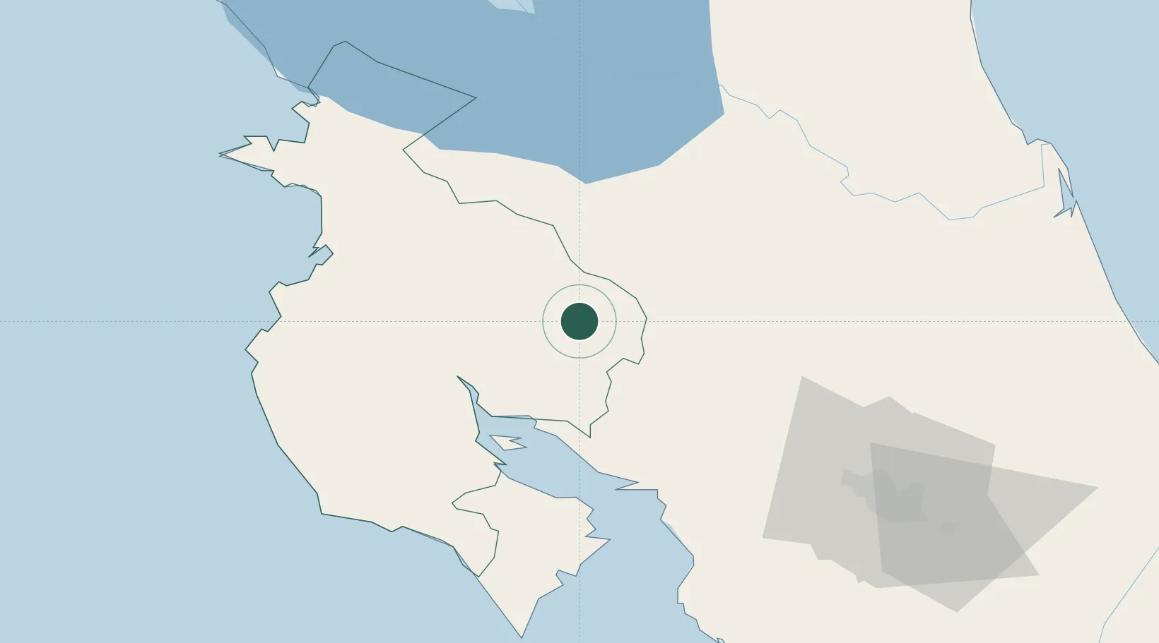
Populated place
Region
Guanacaste Province
Time zone
America/Costa_Rica
Elevation
705 m
Location
Nearby Logistics Neighbours
Cities
- 1Abangares17 km
- 2Paso Real24 km
- 3Veracruz27 km
- 4Guatuso30 km
- 5San Rafael Guatuso30 km
Ports
- 1Puntarenas52 km
- 2Puerto Caldera63 km
- 3Puerto Quepos140 km
- 4Puerto Moin210 km
- 5Puerto Limon217 km
Airports
- 1La Fortuna Arenal Airport41 km
- 2Upala Airport52 km
- 3Daniel Oduber Quirós International Airport67 km
- 4Los Chiles Airport72 km
- 5Nosara Airport92 km
Trade Zones
- 1Zona Franca Puntarenas, SA56 km
- 2Puntarenas Free Trade Zone66 km
- 3AAA Top Talent Free Trade Zone79 km
- 4Activa Industrial Park79 km
- 5Coyol Free Zone89 km
DatabookThe Record of Consolidated Knowledge
Costa Rica beyond logistics?