Transport Functions
Road
Multimodal
Hub Profile
Place type
Populated place
Region
Alajuela Province
Time zone
America/Costa_Rica
Elevation
109 m
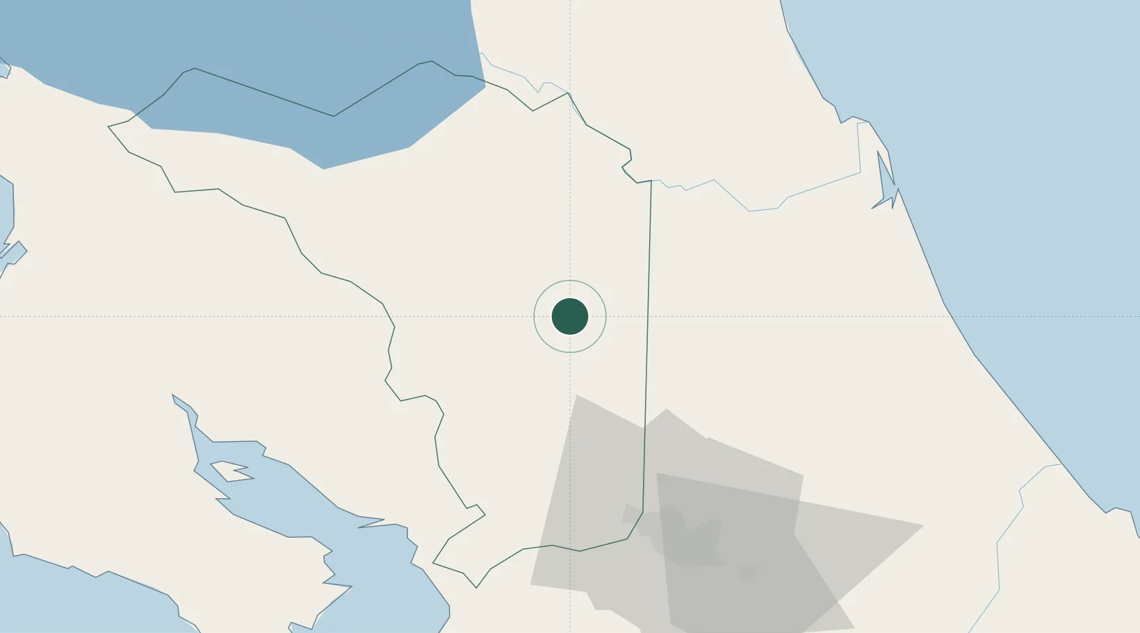
Location
Nearby Logistics Neighbours
Cities
- 1Aguas Zarcas9 km
- 2Pital Con Desvio10 km
- 3Venecia13 km
- 4Muelle de San Carlos14 km
- 5Boca Arenal16 km
Ports
- 1Puerto Caldera73 km
- 2Puntarenas75 km
- 3Puerto Quepos117 km
- 4Puerto Moin148 km
- 5Puerto Limon156 km
Airports
Trade Zones
DatabookThe Record of Consolidated Knowledge
Costa Rica beyond logistics?