Transport Functions
Multimodal
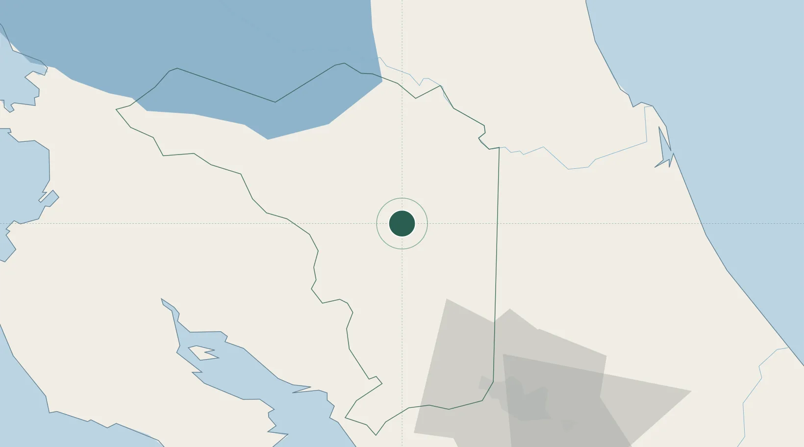
Hub Profile
Region
A
Location
Nearby Logistics Neighbours
Cities
- 1Muelle de San Carlos3 km
- 2Santa Maria/Pocosol10 km
- 3Altamira16 km
- 4Florencia de San Carlos19 km
- 5La Fortuna19 km
Ports
- 1Puntarenas72 km
- 2Puerto Caldera73 km
- 3Puerto Quepos127 km
- 4Puerto Moin164 km
- 5Puerto Limon172 km
Airports
Trade Zones
DatabookThe Record of Consolidated Knowledge
Costa Rica beyond logistics?